


Der Tag beginnt mit einer kleinen Rundfahrt durch Münster. Die Stadt hat uns beeindruckt. Innenstadt, Aasee und vor allem auch das Hafengebiet.
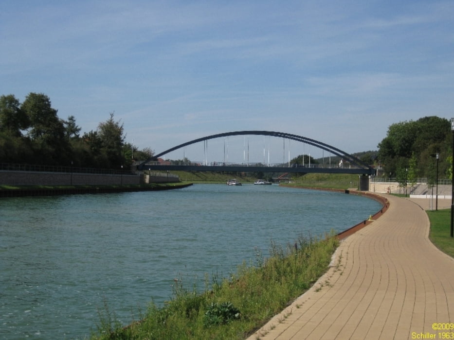
Danach geht es an gut ausgebauten Wegen durch das Münsterland. Nur selten verlässt man den Kanal.
An sonnigen Tagen gibt es auf einem langen Stück sehr wenig Schatten, da es sich hauptsächlich um neue ausgebaute Teilstrecken handelt, an denen sich die Bäume noch nicht entwickelt haben.
Auch sehr schön: viele Teilstücke der alten Fahrt, welche in der Regel als Biotope erhalten geblieben sind, können über die alten Brücken befahren werden.
Am Schluß haben wir ein Stück des Mittellandkanals ausprobiert - vielleicht eine Option für eine unserer nächsten Touren.
Further information at
http://www.xtragleis.deTour gallery


Tour map and elevation profile
Minimum height 41 m
Maximum height 72 m
More about the tour author
|
|
Schiller1963 |
Comments

Münster: Bahn möglich
Rheine-Hörstel: man kann sigar im Bahnhof wohnen!
GPS tracks
Trackpoints-
GPX / Garmin Map Source (gpx) download
-
TCX / Garmin Training Center® (tcx) download
-
CRS / Garmin Training Center® (crs) download
-
Google Earth (kml) download
-
G7ToWin (g7t) download
-
TTQV (trk) download
-
Overlay (ovl) download
-
Fugawi (txt) download
-
Kompass (DAV) Track (tk) download
-
Track data sheet (pdf) download
-
Original file of the author (gpx) download
More about the tour author
|
|
Schiller1963 |
Add to my favorites
Remove from my favorites
Edit tags
Open track
My score
Rate