


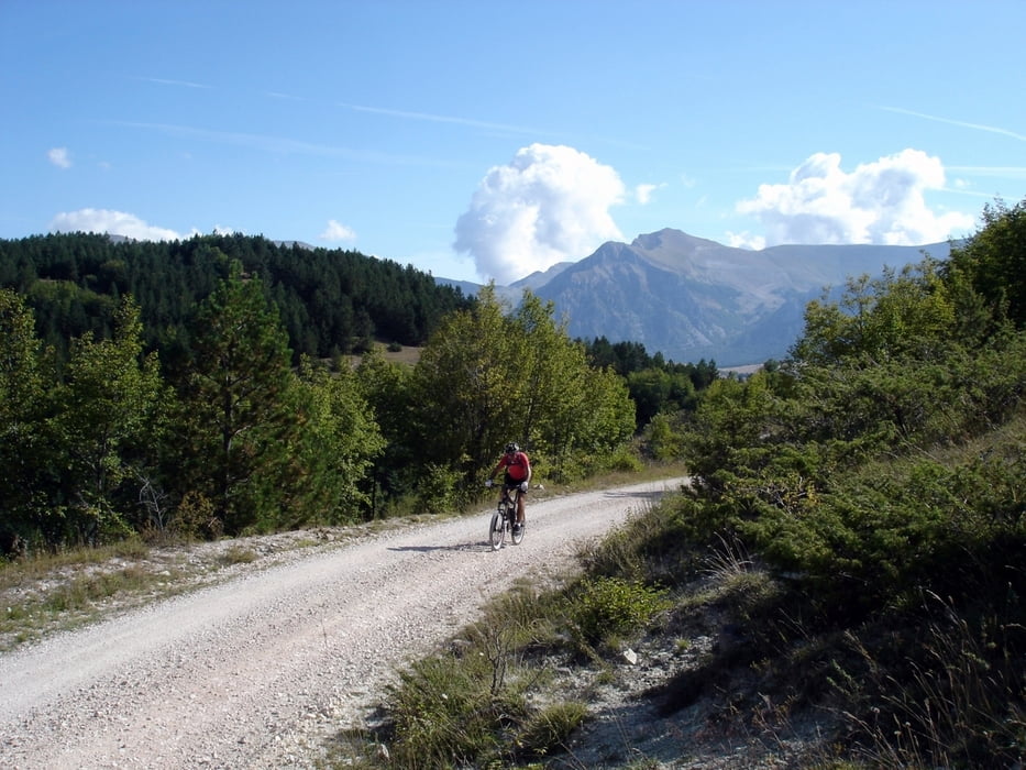
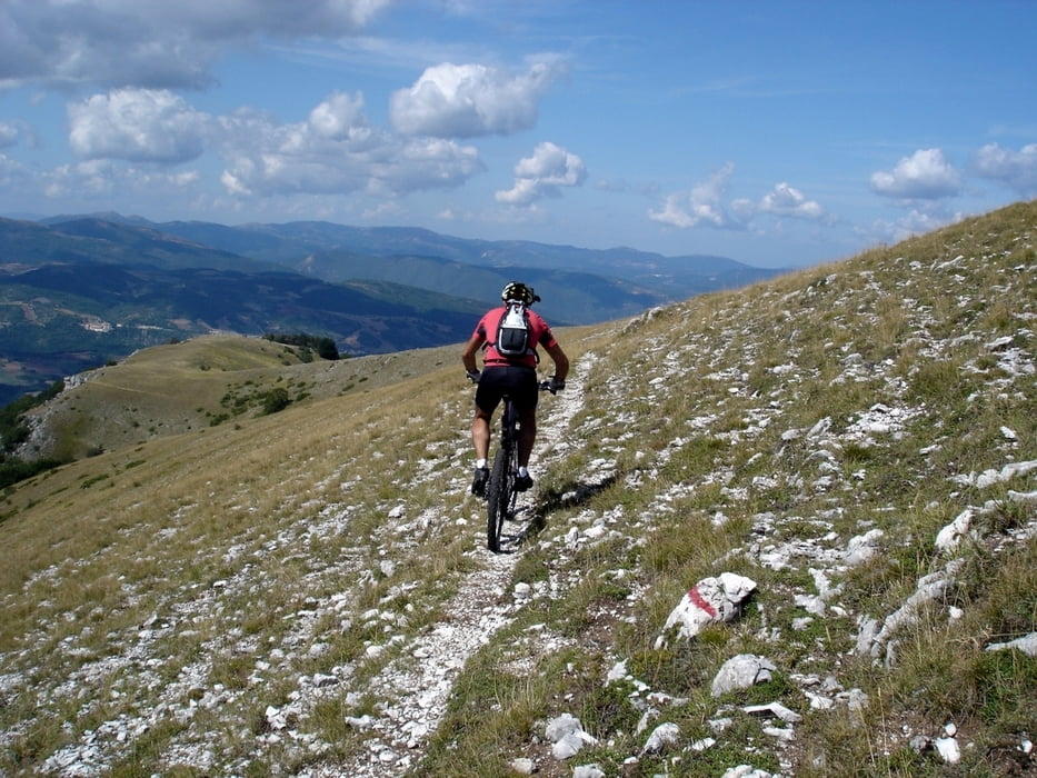
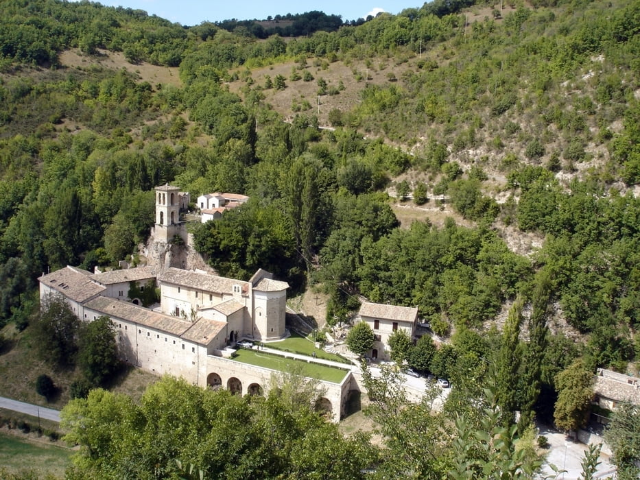
Tra i giri più completi e panoramici dei Sibillini. Si parte presto (il giro è lungo) da Visso e si sale sui Piani del Monte Cardosa dove si lascia la carrozzabile per il sentiero che conduce ai Piani di S.Lucia. Poco prima di arrivare alle pendici del Monte delle Rose si svolta a destra e si inizia un lungo ed entusiasmante single-track che termina nello splendido Campi Vecchio. Qui si continua per l’antico sentiero Norcia-S.Eutizio che con continui saliscendi nel bosco ci conduce ad Acquaro da dove si ammira l’antica Abbazia di S.Eutizio. Qui inizia la salita per i Colli dell’Acquaro che è veramente molto impegnativa per la notevole pendenza e potrebbe creare problemi a chi è a corto di allenamento. Finalmente a quota 1200 metri la salita finisce e imboccando la Valle di Visso si arriva agevolmente al punto di partenza.
Further information at
http://www.sibillini-mtb.itTour gallery

Tour map and elevation profile
Minimum height 608 m
Maximum height 1672 m
More about the tour author
|
|
barbonis |
Comments

GPS tracks
Trackpoints-
GPX / Garmin Map Source (gpx) download
-
TCX / Garmin Training Center® (tcx) download
-
CRS / Garmin Training Center® (crs) download
-
Google Earth (kml) download
-
G7ToWin (g7t) download
-
TTQV (trk) download
-
Overlay (ovl) download
-
Fugawi (txt) download
-
Kompass (DAV) Track (tk) download
-
Track data sheet (pdf) download
-
Original file of the author (gpx) download
More about the tour author
|
|
barbonis |
Add to my favorites
Remove from my favorites
Edit tags
Open track
My score
Rate