


Wegpunkte: Weisenbach - Ladschigbachtal - Hohloh Kaiser Wilhelmturm - Telefonweg - Reichental - Weisenbach
Beschreibung: Kurze aber anspruchvolle Tour von Weisenbach über das Ladschigbachtal zum Kaiser - Wilhelm Turm.
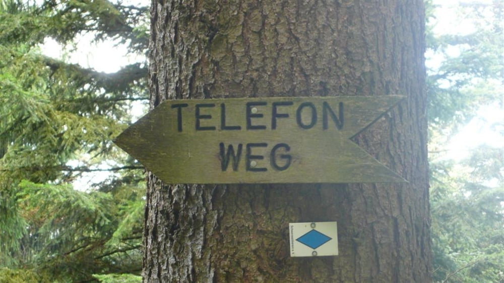
Steigungen: Anfänglich 7%, im Mittelteil zwischen 10 % und 12 %. Im oberen Drittel der Tour auf schlechtem Untergrund bis zu 18 % Steigung. Abfahrt über den Telefonweg bis nach Reichental
viel Spaß
Further information at
http://www.feelaction.deTour gallery
Tour map and elevation profile
Minimum height 197 m
Maximum height 1017 m
More about the tour author
|
|
uklumpp |
Comments
GPS tracks
Trackpoints-
GPX / Garmin Map Source (gpx) download
-
TCX / Garmin Training Center® (tcx) download
-
CRS / Garmin Training Center® (crs) download
-
Google Earth (kml) download
-
G7ToWin (g7t) download
-
TTQV (trk) download
-
Overlay (ovl) download
-
Fugawi (txt) download
-
Kompass (DAV) Track (tk) download
-
Track data sheet (pdf) download
-
Original file of the author (gpx) download
More about the tour author
|
|
uklumpp |
Add to my favorites
Remove from my favorites
Edit tags
Open track
My score
Rate
Telefonweg
Danke fuer die Tour, eignet sich perfekt als Abendtour und die Abfahrt auf dem Telefonweg macht wirklich Laune...
Gruss aus Scheuern