


Schöne Rundtour über die Goaßsteign auf das Plateau der Hohen Veitsch.
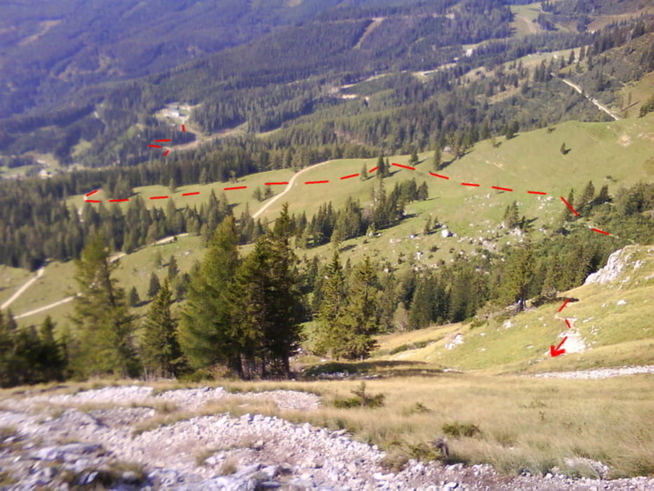
Vom Parkplatz beim Alpengasthof Scheikl zuerst bergab über eine Forststraße bis zur Talstation des Schleppliftes. Dort der Straße bergauf folgen bis man nach einem Weidetor zur Eiblwiese gelangt. Hier gerade über die Wiese hinauf bis zur Weitzerhütte und dort rechtshaltend zum Steig auf die Goaßsteign.
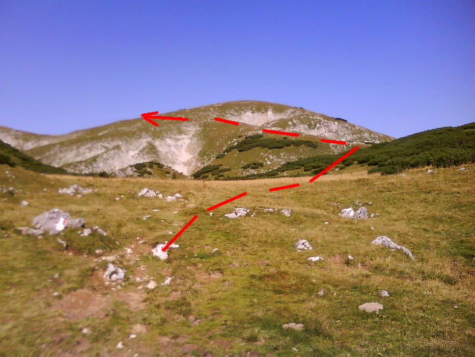
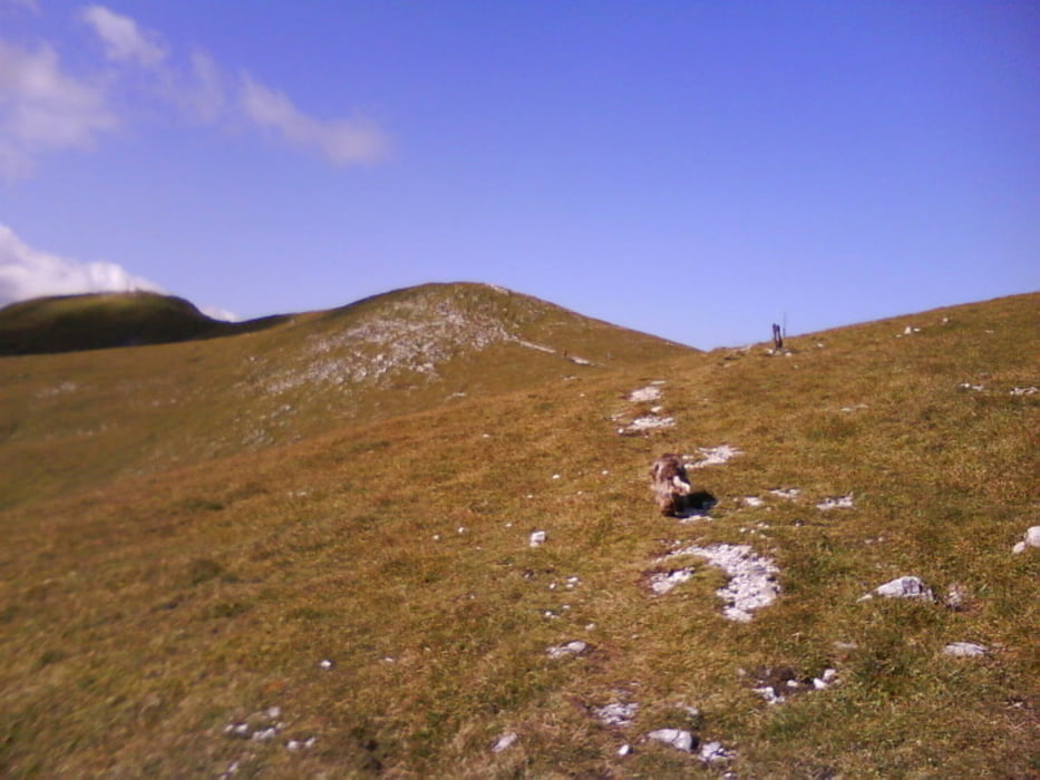
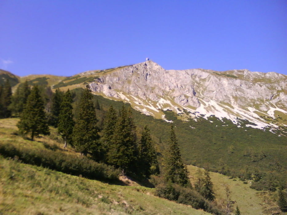
Der Weiterweg führt über das Plateau in westl. Richtung bis zum Gipfel der Hohen Veitsch, weiter zum Meranhaus und Abstieg über den Serpentinenweg der Schaller und weiter über die Schipiste zum Ausgangspunkt.
Ausgangspunkt: Alpengasthof Scheikl
Einkehrmöglichkeit: Graf-Meran Schutzhaus (1843m)
Gehzeiten:
Parkplatz - Goassteign; 1:15
Goassteign - Gipfel: 0:55
Gipfel - Meranhaus: 0:15
Meranhaus-Parkplatz: 0:55
_______________________
Gesamtgehzeit: 3:30
Further information at
http://www.veitsch.at/cms/index.php?idcat=17Tour gallery
Tour map and elevation profile
Minimum height 1115 m
Maximum height 1980 m
More about the tour author
|
|
renrew |
Comments

Autobahnabfahrt S6 bei Mitterdorf im Mürztal Richtung Veitsch.
Über Dorf-Veitsch, Groß-Veitsch bis auf die Brunnalm zum Alpengasthof Scheikl
Über Dorf-Veitsch, Groß-Veitsch bis auf die Brunnalm zum Alpengasthof Scheikl
GPS tracks
Trackpoints-
GPX / Garmin Map Source (gpx) download
-
TCX / Garmin Training Center® (tcx) download
-
CRS / Garmin Training Center® (crs) download
-
Google Earth (kml) download
-
G7ToWin (g7t) download
-
TTQV (trk) download
-
Overlay (ovl) download
-
Fugawi (txt) download
-
Kompass (DAV) Track (tk) download
-
Track data sheet (pdf) download
-
Original file of the author (gpx) download
More about the tour author
|
|
renrew |
Add to my favorites
Remove from my favorites
Edit tags
Open track
My score
Rate