


Start in Cassate an der Bergbahn. Es war 09/2009 nicht möglich, mit dem Rad die Bahn zu benutzen (Betrieb ohne Personal).
Hochkurbeln auf Teerstraße bis zum Marktplatz oder bis zum Restaurant (Ausicht).
Dann MTB - Route folgen, zunächst Teer, dann Muliweg. 09/2009 lagen einige Bäume im Weg.
Nach einer steilen Passage kann man meist bis zum höchsten Punkt fahren. Singletrail, einfach und "eben" bis zur Alpe Bolla.
Dort ein kurzes Stück Feldweg, dann auf den Wanderweg. Man kann das meiste des Weges fahren, nur wenige Stellen zum Schieben.
Unten dann die Teerstraße zurück.
Einfache Tour mit schönen Trails.
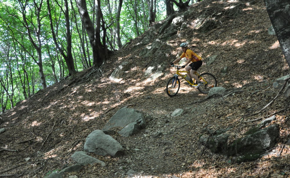
Tour gallery
Tour map and elevation profile
Minimum height 283 m
Maximum height 1148 m
More about the tour author
|
|
RandB |
Comments

GPS tracks
Trackpoints-
GPX / Garmin Map Source (gpx) download
-
TCX / Garmin Training Center® (tcx) download
-
CRS / Garmin Training Center® (crs) download
-
Google Earth (kml) download
-
G7ToWin (g7t) download
-
TTQV (trk) download
-
Overlay (ovl) download
-
Fugawi (txt) download
-
Kompass (DAV) Track (tk) download
-
Track data sheet (pdf) download
-
Original file of the author (gpx) download
More about the tour author
|
|
RandB |
Add to my favorites
Remove from my favorites
Edit tags
Open track
My score
Rate