Login

Forgot your login?

Cookies have to be accepted!
Your browser's cookie functionality is disabled. Please enable this functionality.

Not a member yet?

Register now
Login

Available for registred users only

Log in to use this feature.

Forgot your login?

Cookies have to be accepted!
Your browser's cookie functionality is disabled. Please enable this functionality.

Not a member yet?

Register now
Filter
Categories
Advanced filters
  • Distance (km)
  • Height
Save filters Reset filter

TrackRank

QRCode

Technical data

Distance40,6 km Height1027 m Way down1027 m Duration02:30 h:m Date09.09.2009
Scores Author User Landscape Fun factor Fitness Technique

Statistics

635 Views 2 Scores 105 Downloads 4.50 Average
Rate
  • Track data sheet
  • Directions
  • Downloads

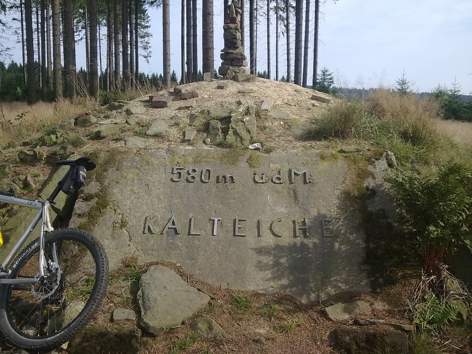
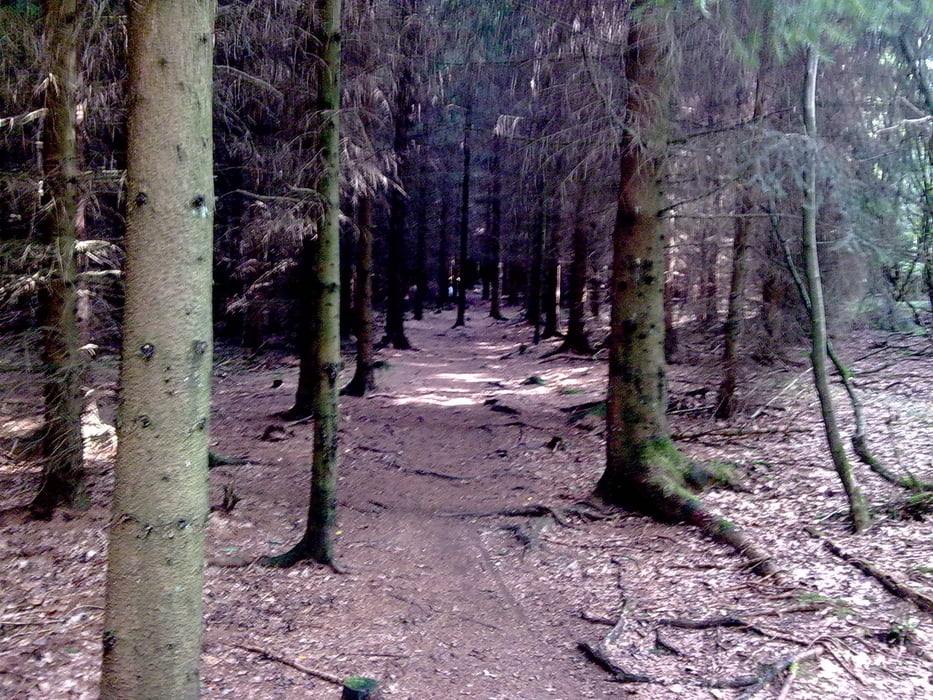
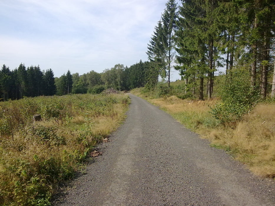
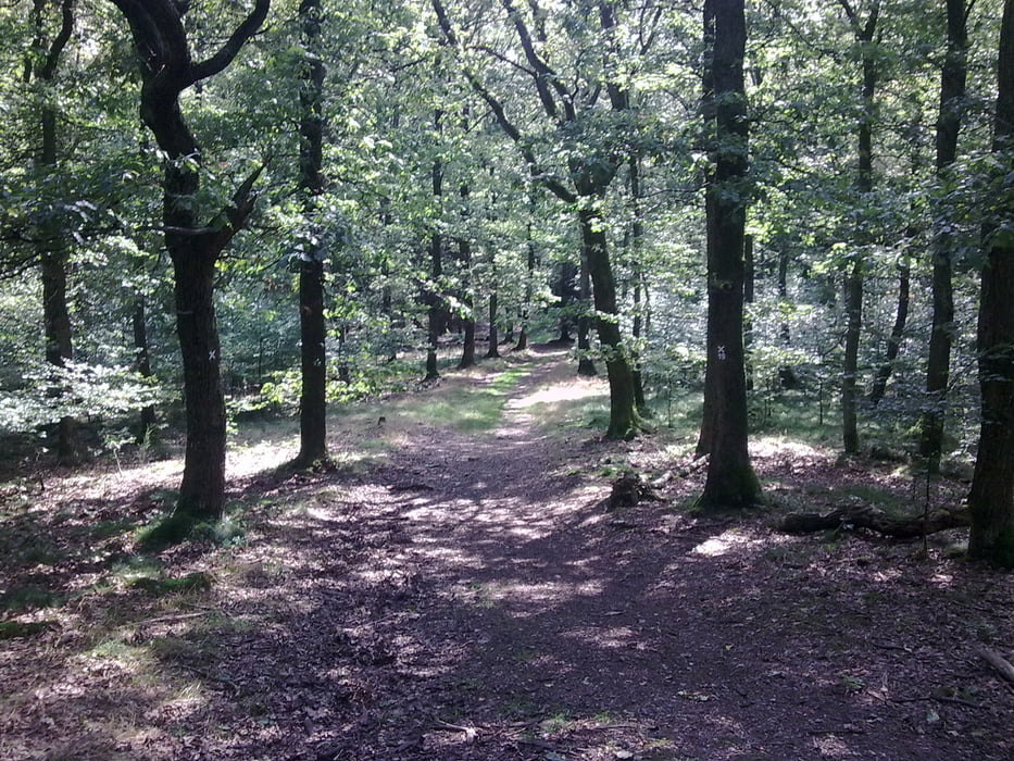
Abwechslungsreiche Tour zur Kalteiche mit schönen Wurzeltrails, knackigen Anstiegen und schnellen Schotterpisten.


Tour gallery

Tour map and elevation profile

  • Open Street Map
  • Google
Minimum height 210 m Maximum height 582 m Detailed view

More about the tour author

Ranzelott
Member since 2009

Send private message

Comments

Tobi29NRW on 01.10.2011

Knackig!

Heute die Tour von Wilnsdorf aus gegen den Uhrzeigersinn gefahren. Gut gemacht! Habe sogar auch ein paar neue Wege entdeckt und einen neuen Singletrail. Nach Wilnsdorf zurück hast Du ab der Winchenbach ja keinen Berg ausgelassen ;-)
Danke für´s Einstellen!
Tobias
Die Tour beginnt in der nähe des Siegener Stadtbades(Löhrtor) am Fuße des Häuslings und wird gegen den Uhrzeigersinn gefahren.

GPS tracks

Trackpoints
  • GPX / Garmin Map Source (gpx) download
  • TCX / Garmin Training Center® (tcx) download
  • CRS / Garmin Training Center® (crs) download
  • Google Earth (kml) download
  • G7ToWin (g7t) download
  • TTQV (trk) download
  • Overlay (ovl) download
  • Fugawi (txt) download
  • Kompass (DAV) Track (tk) download
  • Track data sheet (pdf) download
  • Original file of the author (gpx) download

More about the tour author

Ranzelott
Member since 2009

Send private message
Share track
Add to my favorites
Remove from my favorites
Edit tags
My score
Rate
Track: Von Siegen zur Kalteiche
Type: Mountain bike
Distance: 40,6 km
Evaluated on:
Duration:
Day(s)
Hour(s)
Minute(s)
Score: Landscape Fun factor Fitness Technique