
")

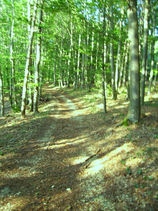
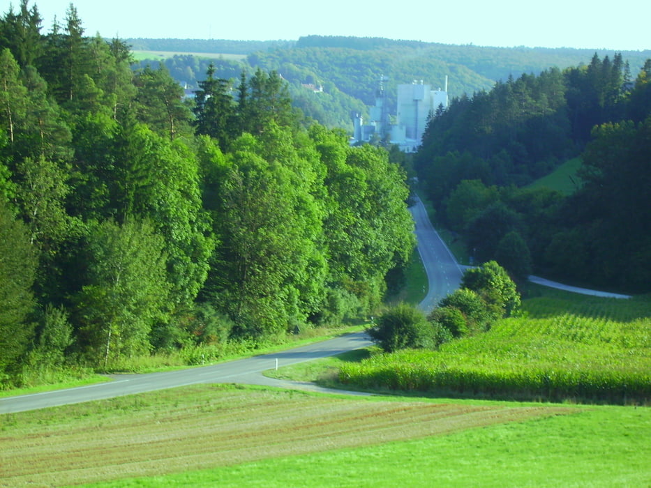
Von Steinberg auf dem kürzesten Weg zur Iller nach Ulm. Böfinger Steige hoch und wieder runter zum Örlinger Tal. Von dort bis Jungingen und Mähringen. Die Strecke ab der Donau bis Mähringen ist alles Teer. Dann geht es in die Wälder um Blaustein mit Schotter und ein paar Trials. Vom Spatzennest runter zum Lautertal ist der Weg sogar anspruchsvoll. Von Herrlingen geht es dann nach Arnegg und wieder in den Wald nach Ermingen. Von dort zurück über Grimmelfingen, Wiblingen, Unterkirchberg und Steinberg, leider alles wieder Teer.
Tour gallery


Tour map and elevation profile
Minimum height 464 m
Maximum height 642 m
More about the tour author
|
|
painfully58 |
Comments

GPS tracks
Trackpoints-
GPX / Garmin Map Source (gpx) download
-
TCX / Garmin Training Center® (tcx) download
-
CRS / Garmin Training Center® (crs) download
-
Google Earth (kml) download
-
G7ToWin (g7t) download
-
TTQV (trk) download
-
Overlay (ovl) download
-
Fugawi (txt) download
-
Kompass (DAV) Track (tk) download
-
Track data sheet (pdf) download
-
Original file of the author (gpx) download
More about the tour author
|
|
painfully58 |
Add to my favorites
Remove from my favorites
Edit tags
Open track
My score
Rate