


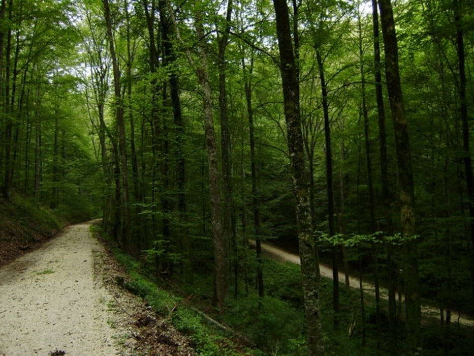
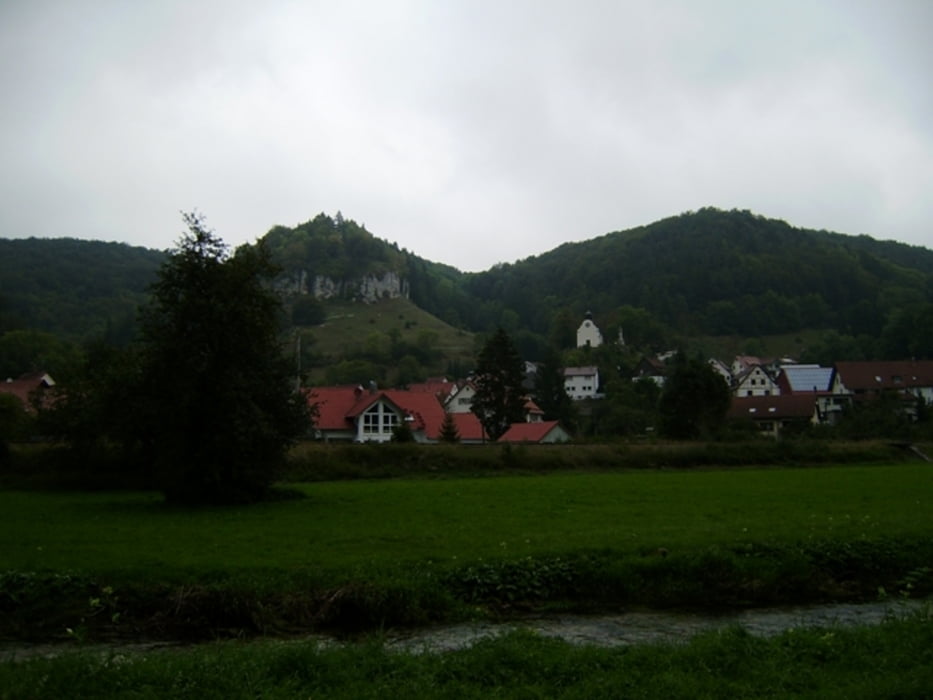
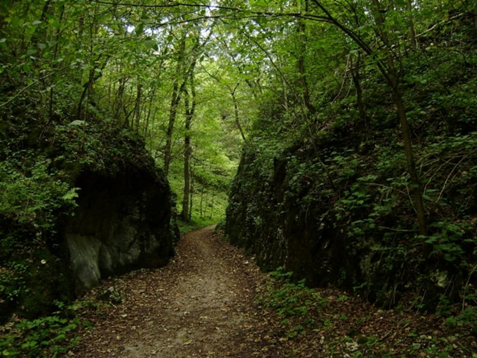
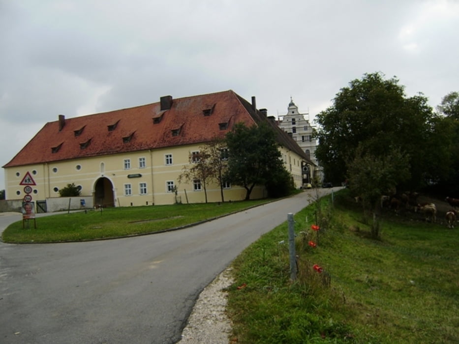
Schwäbische Alb Radl Tour. Wir starten kurz vor Altsteusslingen. Es geht zunächst Richtung Schmiechen. Von hier links vom Gleis Richtung Talsteusslingen. Weiter über Sondernach. In Granheim können wir bestens den Gasthof Adler von Fam. Alfred Walter empfehlen, hier wird einem etwas gutes zubereitet und erfrischende Getränke serviert. Weiter geht es über die Wolfsfalle und das Wolfstal Richtung Lauterach. Noch ein kleiner Pfad bergauf dann Richtung Schloß Mochental weiterfahren. Nördlich von Kirchen vorbei schon bald sind wir bei der Friedenskapelle, von da ist es nicht mehr weit zum Ausgangspunkt.
Hinweis: Der am 11.09.2009 gefahrene Track ist korrigiert (Einkehr, Fototermine usw.)
zus. Daten: AVS = 12,1 km/h - max. Spd. = 57 km/h - Pausenzeit 02:00 h
Ich empfehle zur Mitnahme die Freizeitkarte - 524 - Bad Urach - Münsinger Alb vom Schwäb. Albverein
Wetter: Wir starten kurz bei frischen 14°C, der Himmel ist bedeckt, gelegentlich zeigt sich die Sonne, Höchsttemperaur 19°C, kein Niederschlag.
832-137-21072018
Further information at
http://www.schenie.deTour gallery
Tour map and elevation profile
Minimum height 536 m
Maximum height 747 m
More about the tour author
|
|
schenie |
Comments

Start und Ziel bei einem Parkplatz nahe Altsteußlingen
Aus meinem Tagebuch:
Sehenswert:
Einkehrmöglichkeit:
Schlußworte:
Radtechnik: TREK8000
GPS: Garmin Etrex Vista HCX
https://www.tourismus.alb-donau-kreis.de/sites/default/files/pdf/prospekte/Albt%C3%A4ler.pdf
832-137-210720188
GPS tracks
Trackpoints-
GPX / Garmin Map Source (gpx) download
-
TCX / Garmin Training Center® (tcx) download
-
CRS / Garmin Training Center® (crs) download
-
Google Earth (kml) download
-
G7ToWin (g7t) download
-
TTQV (trk) download
-
Overlay (ovl) download
-
Fugawi (txt) download
-
Kompass (DAV) Track (tk) download
-
Track data sheet (pdf) download
-
Original file of the author (gpx) download
More about the tour author
|
|
schenie |
Add to my favorites
Remove from my favorites
Edit tags
Open track
My score
Rate