Login

Forgot your login?

Cookies have to be accepted!
Your browser's cookie functionality is disabled. Please enable this functionality.

Not a member yet?

Register now
Login

Available for registred users only

Log in to use this feature.

Forgot your login?

Cookies have to be accepted!
Your browser's cookie functionality is disabled. Please enable this functionality.

Not a member yet?

Register now
Filter
Categories
Advanced filters
  • Distance (km)
  • Height
Save filters Reset filter

TrackRank

QRCode

Technical data

Distance33,3 km Height1877 m Way down1652 m Duration09:15 h:m Date11.09.2009
Scores Author Landscape Fun factor Fitness Technique

Statistics

938 Views Scores 72 Downloads Average
Rate
  • Track data sheet
  • Directions
  • Downloads
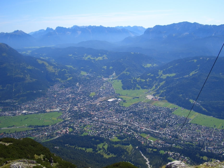
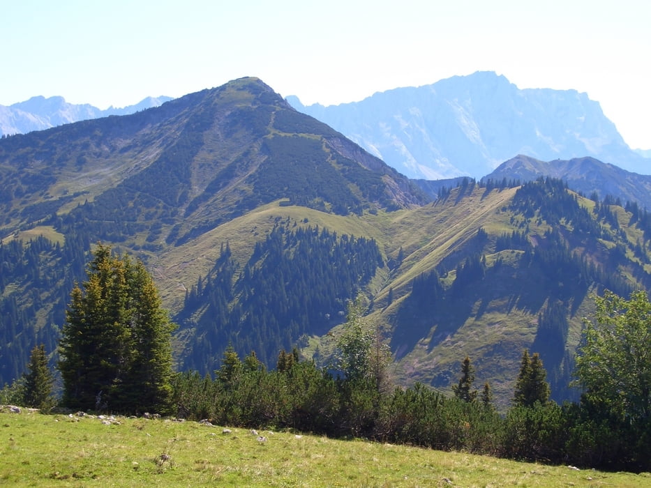
Es geht in Garmisch-Partenkirchen los auf den Kramer hinauf. Von da aus geht es hinunter in den Stepbergraben und um den Hirschbühel herum an die Enningalm. Dann geht es auf den Windstierkopf hinauf und das Kühalpenbachtal hinunter bis an die Linder und weiter nach Oberammergau

Tour gallery

Tour map and elevation profile

  • Open Street Map
  • Google
Minimum height 607 m Maximum height 1986 m Detailed view

More about the tour author

c-nes
Member since 2009

Send private message

Comments

Anreise mit dem Zug nach Garmisch-Partenkirchen, Abfahrt mit dem Zug in Oberammergau.

GPS tracks

Trackpoints
  • GPX / Garmin Map Source (gpx) download
  • TCX / Garmin Training Center® (tcx) download
  • CRS / Garmin Training Center® (crs) download
  • Google Earth (kml) download
  • G7ToWin (g7t) download
  • TTQV (trk) download
  • Overlay (ovl) download
  • Fugawi (txt) download
  • Kompass (DAV) Track (tk) download
  • Track data sheet (pdf) download
  • Original file of the author (gpx) download

More about the tour author

c-nes
Member since 2009

Send private message
Share track
Add to my favorites
Remove from my favorites
Edit tags
My score
Rate
Track: Garmisch-Partenkirchen-Oberammergau
Type: Hiking
Distance: 33,3 km
Evaluated on:
Duration:
Day(s)
Hour(s)
Minute(s)
Score: Landscape Fun factor Fitness Technique