


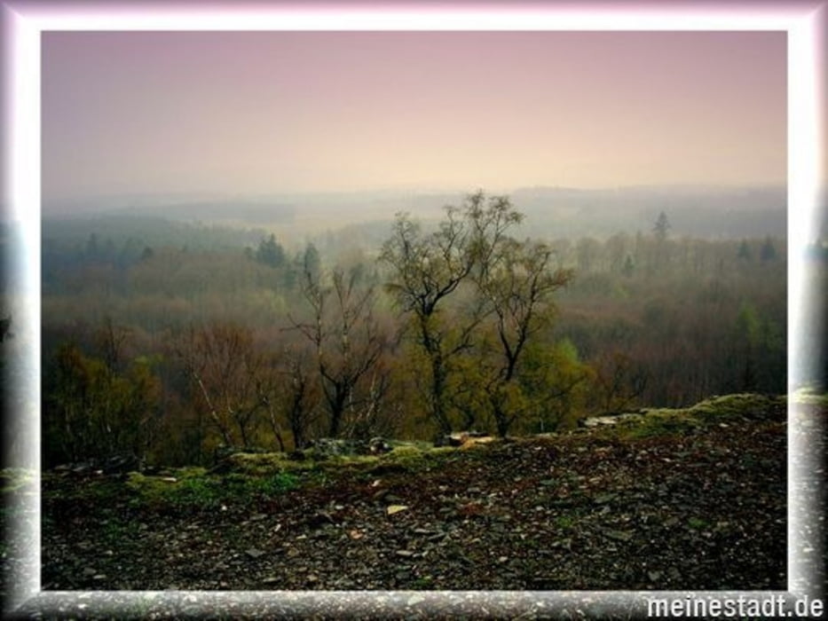
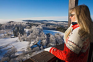
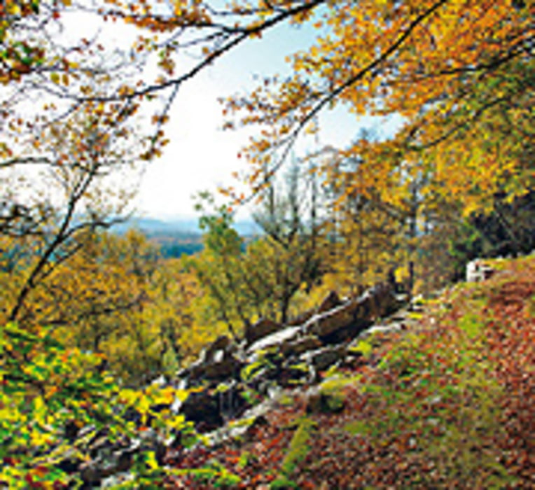
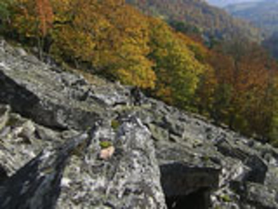
Fun Tour bei Sonnenaufgang. Einer der schönsten Touren vorbei an der Wildenburg (Turm 675 m hoch mit toller Aussicht bei schönem Wetter) weiter Richtung Hohenfels,( ein abstecher dort vorbei lohnt sich !!) die Rosselhalde (Blochsteinfelder aus Taunusquarzit) herunter dann auf dem Ausoniusweg Hoch und übers Mörschieder burr zurück.
PS. Geochoaching Freunde werden in dieser Gegend Ihre Freude haben !!
Further information at
http://www.harfenmuehle.netTour gallery
Tour map and elevation profile
Minimum height 398 m
Maximum height 658 m
More about the tour author
|
|
Plunschbauch |
Comments

Start & Ziel Rezeption
Campingplatz Harfenmühle
55758 Mörschied / Ortsteil Harfenmühle
oder Internet http//:www.harfenmuehle.net
GPS tracks
Trackpoints-
GPX / Garmin Map Source (gpx) download
-
TCX / Garmin Training Center® (tcx) download
-
CRS / Garmin Training Center® (crs) download
-
Google Earth (kml) download
-
G7ToWin (g7t) download
-
TTQV (trk) download
-
Overlay (ovl) download
-
Fugawi (txt) download
-
Kompass (DAV) Track (tk) download
-
Track data sheet (pdf) download
-
Original file of the author (gpx) download
More about the tour author
|
|
Plunschbauch |
Add to my favorites
Remove from my favorites
Edit tags
Open track
My score
Rate