


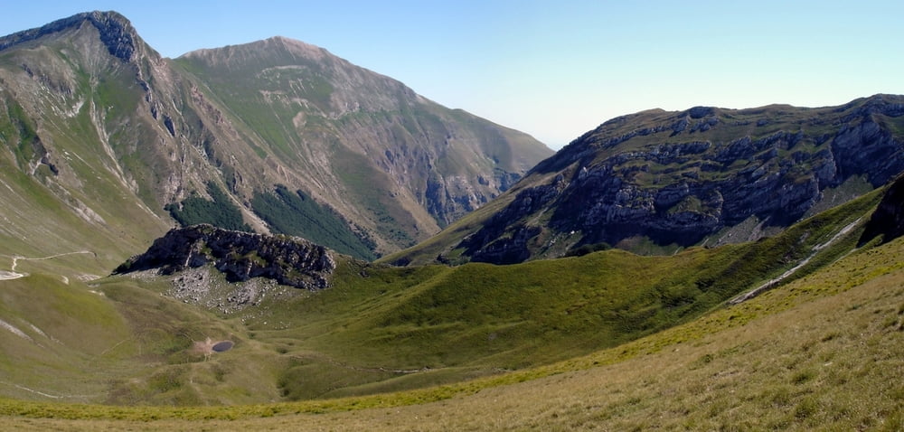
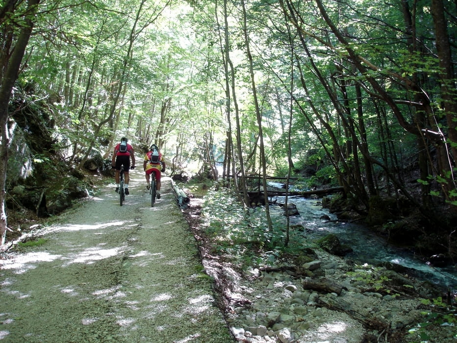
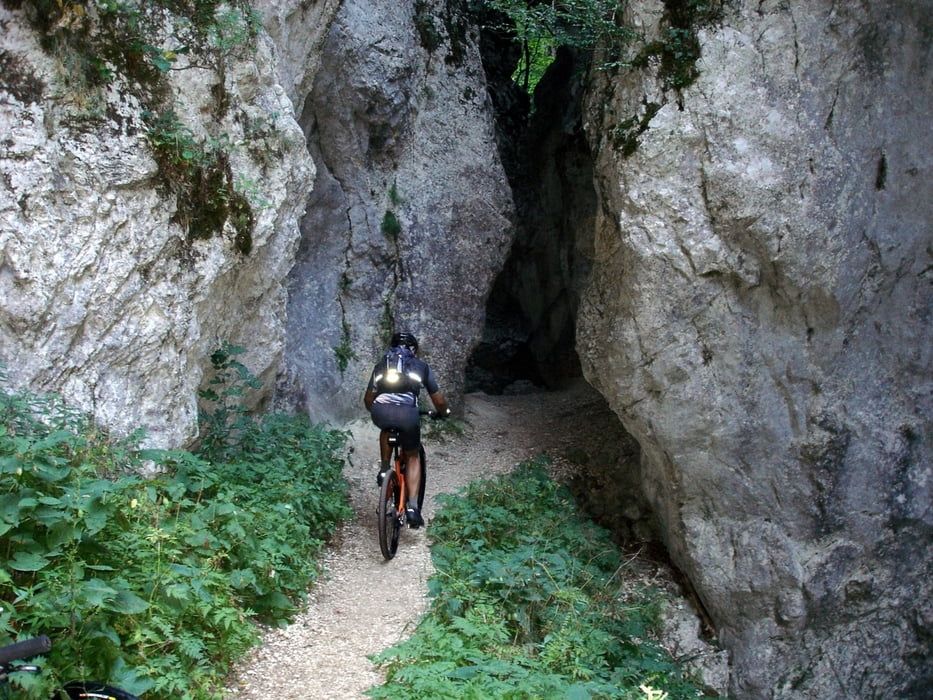
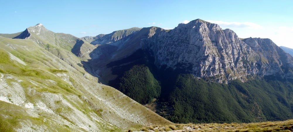
Partenza da Frontignano di Ussita ed arrivo ad Ussita per risparmiare 50 minuti e 700 metri di dislivello per questo giro di 65 km e 2500 metri di dislivello già pubblicato con la variante più lunga. Arrivati a Rubbiano si percorre in dicesa e poi in saliscendi un bel single-track fino a Vetice da dove si arriva a Garulla in modo molto più agevole con le strade provinciali 83 e 202. Da qui si sale per Pintura di Bolognola e per il Passo del Fargno da dove scendendo per le “Scentelle” e per la bassa Val di Panico si ritorna ad Ussita.
Further information at
http://www.sibillini-mtb.itTour gallery
Tour map and elevation profile
Minimum height 465 m
Maximum height 1890 m
More about the tour author
|
|
barbonis |
Comments

GPS tracks
Trackpoints-
GPX / Garmin Map Source (gpx) download
-
TCX / Garmin Training Center® (tcx) download
-
CRS / Garmin Training Center® (crs) download
-
Google Earth (kml) download
-
G7ToWin (g7t) download
-
TTQV (trk) download
-
Overlay (ovl) download
-
Fugawi (txt) download
-
Kompass (DAV) Track (tk) download
-
Track data sheet (pdf) download
-
Original file of the author (gpx) download
More about the tour author
|
|
barbonis |
Add to my favorites
Remove from my favorites
Edit tags
Open track
My score
Rate