


Nach sieben wochen wieder eine tour gemacht. Wie immer nach eine lange Pauze,schwerr...... und dann wird es nur schwieriger wenn die "Freunde" durch trainiert sind. Aber OK.
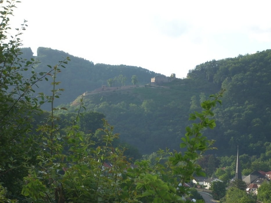
Die tour geht nach die Weinstadt nach Haardt um da gleich mit viel % die steigung zu bewältigen. Und dann über denn hang mit ein pahr single tracks weiter zur Wolfsburg. Da runter (past auf für die pflanzen) und zum Kaltenbrunner tal. Entlang dem fluss zur Hütte. Hier kann man eventuel eine Pauze nehmen. Dan weiter mit viel Procente hoch in richtung Schloss.
Sehr schöner tour mit viele punkte um etwas zu sehen von der Natur aber auch vom Rheintal.
Tour gallery
Tour map and elevation profile
Minimum height 65 m
Maximum height 389 m
More about the tour author
|
|
Bedee |
Comments

Parken kann mann am ende de Strecke. Oder in der Nahe von NW Haardt.
GPS tracks
Trackpoints-
GPX / Garmin Map Source (gpx) download
-
TCX / Garmin Training Center® (tcx) download
-
CRS / Garmin Training Center® (crs) download
-
Google Earth (kml) download
-
G7ToWin (g7t) download
-
TTQV (trk) download
-
Overlay (ovl) download
-
Fugawi (txt) download
-
Kompass (DAV) Track (tk) download
-
Track data sheet (pdf) download
-
Original file of the author (gpx) download
More about the tour author
|
|
Bedee |
Add to my favorites
Remove from my favorites
Edit tags
Open track
My score
Rate