Login

Forgot your login?

Cookies have to be accepted!
Your browser's cookie functionality is disabled. Please enable this functionality.

Not a member yet?

Register now
Login

Available for registred users only

Log in to use this feature.

Forgot your login?

Cookies have to be accepted!
Your browser's cookie functionality is disabled. Please enable this functionality.

Not a member yet?

Register now
Filter
Categories
Advanced filters
  • Distance (km)
  • Height
Save filters Reset filter

TrackRank

QRCode

Technical data

Distance70,8 km Height1014 m Way down1024 m Duration03:41 h:m Date24.07.2006
Scores Author Landscape Fun factor Fitness Technique

Statistics

2591 Views 3 Scores 478 Downloads 1.00 Average
Rate
  • Track data sheet
  • Directions
  • Downloads
Wunderschöne Strecke entlang der Isar. Auch was schönes für einen Sonntagsausflug mit der Familie.

Further information at
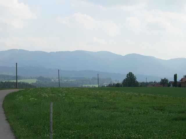
http://www.isarradweg.de/

Tour gallery

Tour map and elevation profile

  • Open Street Map
  • Google
Minimum height 559 m Maximum height 725 m Detailed view

More about the tour author

yellowstone2005
Member since 2006

Send private message

Comments

ldr on 25.07.2006

Aumühle-BadTölz entlang der Isar

Wo bitte soll die Tour denn die beschriebenen 1600 HM machen ???
Oliver Raupach on 15.08.2006

Tippfehler

... ist wohl ein Tippfehler. Es sind 167 HM.
Von München über die Autobahn/Landstrasse nach Aumühle

GPS tracks

Trackpoints
  • GPX / Garmin Map Source (gpx) download
  • TCX / Garmin Training Center® (tcx) download
  • CRS / Garmin Training Center® (crs) download
  • Google Earth (kml) download
  • G7ToWin (g7t) download
  • TTQV (trk) download
  • Overlay (ovl) download
  • Fugawi (txt) download
  • Kompass (DAV) Track (tk) download
  • Track data sheet (pdf) download
  • Original file of the author (gpx) download

More about the tour author

yellowstone2005
Member since 2006

Send private message
Share track
Add to my favorites
Remove from my favorites
Edit tags
My score
Rate
Track: Aumühle-BadTölz entlang der Isar
Type: Mountain bike
Distance: 70,8 km
Evaluated on:
Duration:
Day(s)
Hour(s)
Minute(s)
Score: Landscape Fun factor Fitness Technique