


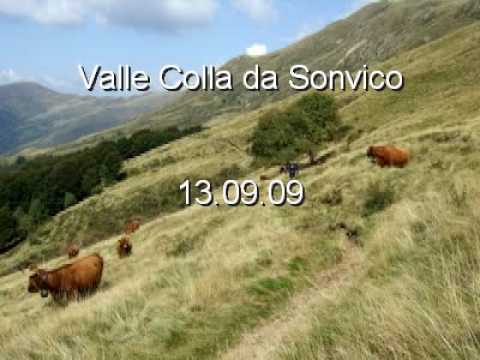
Anello Fantastico.
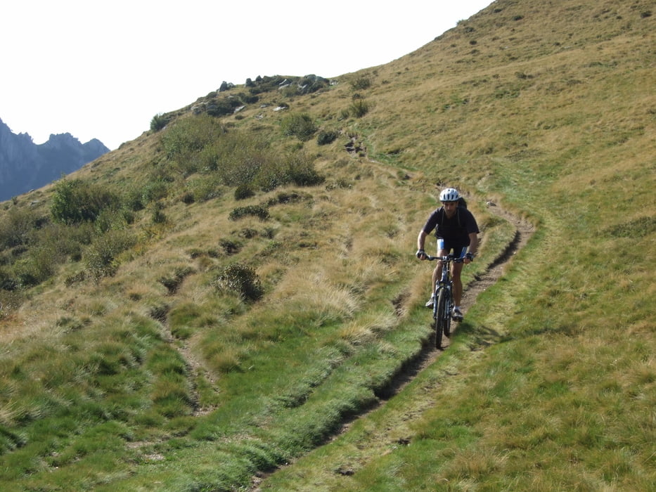
Partenza da Sonvico 600m su strada asfaltata fino a Rosone 820m, poi su bellissima strada bianca e single track sulla Bochetta di S.Bernardo 1586m, adesso bella discesa su ST fino il passo San Lucio 1541m.
Dopo una bella mangiata si prende il sentiero spettacolare che ci porta con dei sali e scendi a Piandanazzo è poi alla capanna Monte Bar a prendere una birretta.
Per prendere il fantastico e difficile Single track che ci porta a Signora si deve ritornare al bivio che si trova 200m dopo Piandanazzo.
Da Signora si scende su strada asfaltata a Maglio di Colla 823m per proseguire fino alla cappella Madonna d'Arla 828m, prendere la strada a dx per salire sulla cima Monte Roveraggio 904m è scendere sulla bellissima e velocissima Mulattiera al paese Sonvico.
Further information at
http://www.lugano-tourism.ch/de/205/mountain_bike.aspxTour gallery


Tour map and elevation profile
Minimum height 99999 m
Maximum height -99999 m
More about the tour author

|
Silvia_Arno |
Comments

Milano - Como - Lugano - Sonvico
GPS tracks
Trackpoints-
GPX / Garmin Map Source (gpx) download
-
TCX / Garmin Training Center® (tcx) download
-
CRS / Garmin Training Center® (crs) download
-
Google Earth (kml) download
-
G7ToWin (g7t) download
-
TTQV (trk) download
-
Overlay (ovl) download
-
Fugawi (txt) download
-
Kompass (DAV) Track (tk) download
-
Track data sheet (pdf) download
-
Original file of the author (gpx) download
More about the tour author
|
|
Silvia_Arno |
Add to my favorites
Remove from my favorites
Edit tags
Open track
My score
Rate