


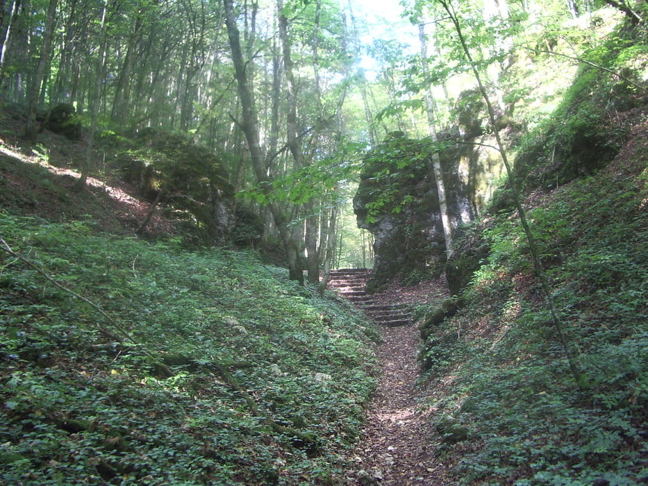
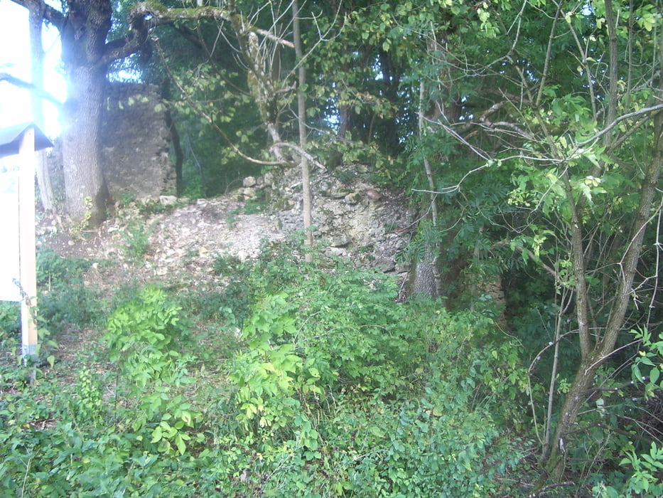
Wir starten in Hütten am Gasthof "Bären", gehen ein paar Meter die Straße hoch und biegen gleich links ab ins Bärental. Kaum ein paar Meter im Bärental kommen wir schon an die Höhle (ein Stück begehbar, Taschenlampe nicht vergessen). Wir gehen im Bärental hoch bis zur Albhochfläche. Zwischen den Windrädern durch Richtung Norden, auf der Höhe von Ingstetten biegen wir auch rechts ab und gehen nach Ingstetten. Gleich am Ortseingang befindet sich eine uralte Gerichts-Linde (angeblich ca. 4000 Jahre alt) an der wurde früher Gericht gehalten. Wir gehen durch Ingstetten durch, am Backhaus rechts und am Sportgelände vorbei, weiter zur Schloßkapelle die in einer Linde steht. Von hier geht´s weiter zur Ruine Justingen und weiter zur Aussichtsplattform, danach beginnt der Abstieg am Friedhof vorbei wieder zurück zum Ausgangspunkt.
Tour gallery


Tour map and elevation profile
Minimum height 532 m
Maximum height 797 m
More about the tour author
|
|
whasch |
Comments

Hütten liegt in der Nähe von Schelklingen
GPS tracks
Trackpoints-
GPX / Garmin Map Source (gpx) download
-
TCX / Garmin Training Center® (tcx) download
-
CRS / Garmin Training Center® (crs) download
-
Google Earth (kml) download
-
G7ToWin (g7t) download
-
TTQV (trk) download
-
Overlay (ovl) download
-
Fugawi (txt) download
-
Kompass (DAV) Track (tk) download
-
Track data sheet (pdf) download
-
Original file of the author (gpx) download
More about the tour author
|
|
whasch |
Add to my favorites
Remove from my favorites
Edit tags
Open track
My score
Rate