


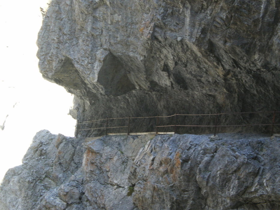
Die Tracks sind weitestgehend im Original und nicht bearbeitet, das Zickzacke in der Val d'Uina führe ich auf den schlechten Satellitenempfang zurück, wer sich dort verfährt kann sich eh nicht mehr beschweren :-)
Wer wenig Zeit hat sollte die Tour ab Sent starten, dort beginnen die Highlights der Tour.
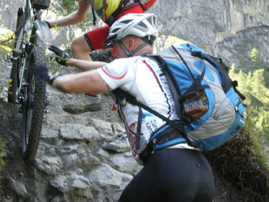
Gibt es unterwegs mal ein Problem mit dem Bike, so wird dir geholfen.
http://www.youtube.com/watch?v=rxfzm9dfqBw
Tour gallery


Tour map and elevation profile
Minimum height 897 m
Maximum height 2691 m
More about the tour author
|
|
phboi07 |
Comments

GPS tracks
Trackpoints-
GPX / Garmin Map Source (gpx) download
-
TCX / Garmin Training Center® (tcx) download
-
CRS / Garmin Training Center® (crs) download
-
Google Earth (kml) download
-
G7ToWin (g7t) download
-
TTQV (trk) download
-
Overlay (ovl) download
-
Fugawi (txt) download
-
Kompass (DAV) Track (tk) download
-
Track data sheet (pdf) download
-
Original file of the author (gpx) download
More about the tour author
|
|
phboi07 |
Add to my favorites
Remove from my favorites
Edit tags
Open track
My score
Rate