


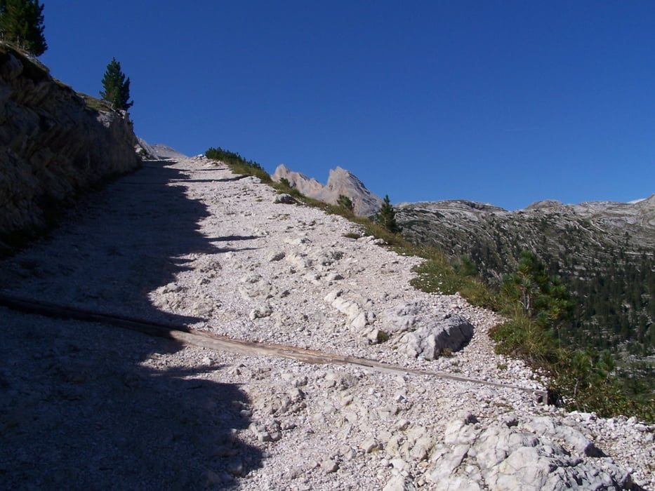
bekanntermasen eine wunderschöne dolomitentour mit sämtlichen highlights.
die tour ist schon so ähnlich eingestellt
3 gründe warum diese tour nochmal.
a, man muß am ende des fanestals nicht ganz runter auf die straße und man erspart sich dadurch auch den lästigen weg den die autos bis zum parkplatz hochfahren,weil man direkt am parkplatz rauskommt.
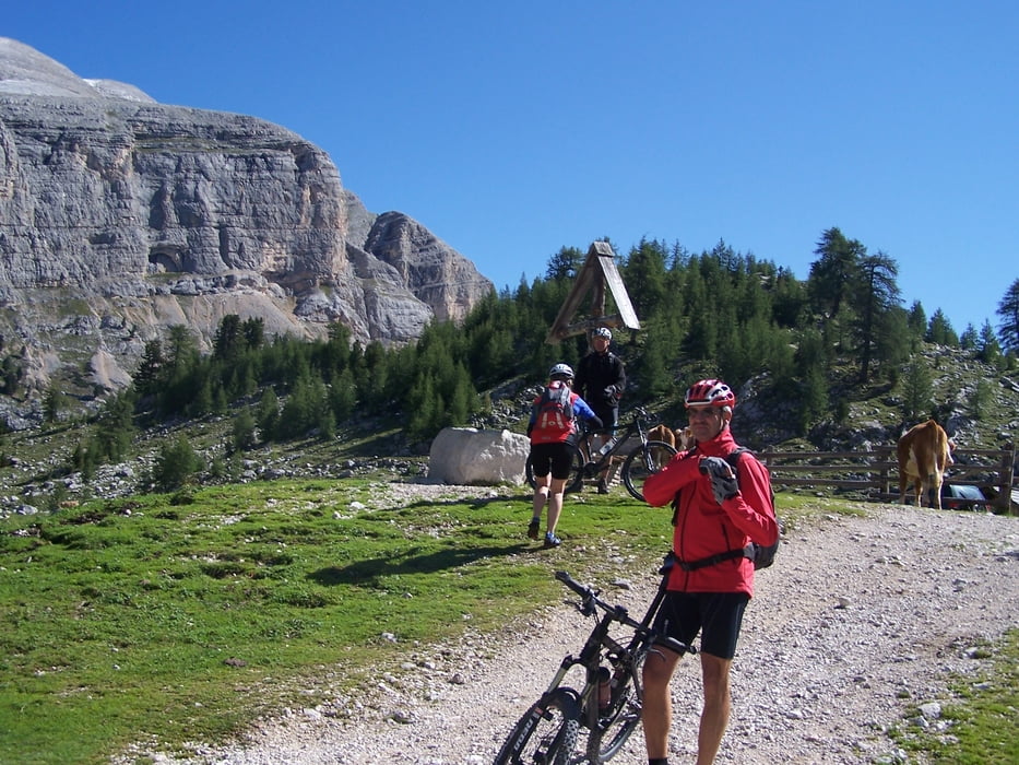
b, an der kreuzung senneshütte u vedora vedla hütte bin ich die zweite und schönere variante direkt zur vedora vedla hütte gefahren v.a. deshalb weil man sich mit sehr viel ehrgeiz(ist schon schön steil) und nur ein bischen schieben die schiebestrecke zur senneshütte spart.
c, alle die aus dem pustertal kommen können über maria saalen und enneberg nach st. vigil eine schöne strecke mit dem mtb fahren.
ich bin von st vigil bis st vigil gefahren und dann noch raus ins pustertal eigentlich nur noch bergab.
wer vom pustertal noch bis st vigil reinfährt darf nochmals mit ca. 15 km rechnen
Tour gallery


Tour map and elevation profile
Minimum height 793 m
Maximum height 2171 m
More about the tour author
|
|
tomasi |
Comments
gadertal zwischenwasser st.vigil richtung pederü
GPS tracks
Trackpoints-
GPX / Garmin Map Source (gpx) download
-
TCX / Garmin Training Center® (tcx) download
-
CRS / Garmin Training Center® (crs) download
-
Google Earth (kml) download
-
G7ToWin (g7t) download
-
TTQV (trk) download
-
Overlay (ovl) download
-
Fugawi (txt) download
-
Kompass (DAV) Track (tk) download
-
Track data sheet (pdf) download
-
Original file of the author (gpx) download
More about the tour author
|
|
tomasi |
Add to my favorites
Remove from my favorites
Edit tags
Open track
My score
Rate
Fanes Runde