


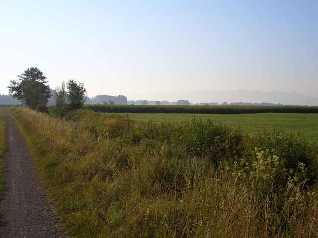
Diese Tour führt größtenteils auf absolut ruhigen und wenig befahrenen Wirtschaftswegen rund um Rosenheim. Mein Planungsziel war es eine Tour zu finden, die auf kleinen relativ unbekannten Wegen verläuft, die in keinem Radführer verzeichnet sind. Perfekt für eine solche Planungsaufgabe hat sich Google Earth in Verbindung mit CompeGPS herausgestellt. Die Tour ist wunderbar zu fahren und bietet tolle Impressionen des bayerischen Alpenvorlandes. Viel Spass!
Tour gallery
Tour map and elevation profile
Minimum height 423 m
Maximum height 566 m
More about the tour author

|
eaglefly |
Comments
A8 München Richtung Salzburg, am Autobahnkreuz Rosenheim Richtung Innsbruck, dann erste Ausfahrt "Reischenhart" nehmen und weiter nach Raubling. In Raubling empfehle ich einen Parkplatz zu suchen und sich in die Tour einzuklinken.
GPS tracks
Trackpoints-
GPX / Garmin Map Source (gpx) download
-
TCX / Garmin Training Center® (tcx) download
-
CRS / Garmin Training Center® (crs) download
-
Google Earth (kml) download
-
G7ToWin (g7t) download
-
TTQV (trk) download
-
Overlay (ovl) download
-
Fugawi (txt) download
-
Kompass (DAV) Track (tk) download
-
Track data sheet (pdf) download
-
Original file of the author (gpx) download
More about the tour author
|
|
eaglefly |
Add to my favorites
Remove from my favorites
Edit tags
Open track
My score
Rate
MTB-Rund um Rosenheim