


Vom Parkplatz auf dem markierten Weg über den Taschachbach.
Im Taschachtal aufwärts bis zur Taschachalm.
Von hier neben dem Seebach zum Teil recht steil empor zum Rifflsee.
Unter dem Muttenkopf entlang mäßig ansteigend zur Bergstation des Sesselliftes mit großem Selbstbedienungsrestaurant.
Auf steilem Pfad durchs Hirschbachtal hinunter und zurück nach Mandarfen.
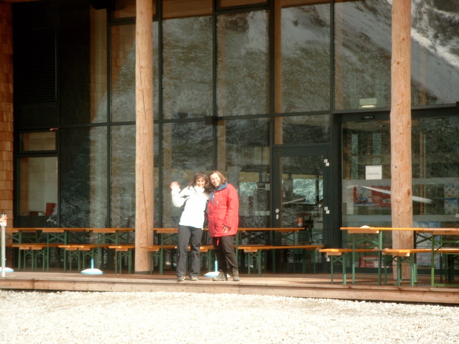
Tour gallery


Tour map and elevation profile
Minimum height 1682 m
Maximum height 2313 m
More about the tour author
|
|
KaufensH |
Comments

Mit dem PKW oder dem Postbus ins hitere Pitztal nach Mandarfen.
Großer Parkplatz bei der Rifflsee-Sesselbahn.
Großer Parkplatz bei der Rifflsee-Sesselbahn.
GPS tracks
Trackpoints-
GPX / Garmin Map Source (gpx) download
-
TCX / Garmin Training Center® (tcx) download
-
CRS / Garmin Training Center® (crs) download
-
Google Earth (kml) download
-
G7ToWin (g7t) download
-
TTQV (trk) download
-
Overlay (ovl) download
-
Fugawi (txt) download
-
Kompass (DAV) Track (tk) download
-
Track data sheet (pdf) download
-
Original file of the author (gpx) download
More about the tour author
|
|
KaufensH |
Add to my favorites
Remove from my favorites
Edit tags
Open track
My score
Rate