Login

Forgot your login?

Cookies have to be accepted!
Your browser's cookie functionality is disabled. Please enable this functionality.

Not a member yet?

Register now
Login

Available for registred users only

Log in to use this feature.

Forgot your login?

Cookies have to be accepted!
Your browser's cookie functionality is disabled. Please enable this functionality.

Not a member yet?

Register now
Filter
Categories
Advanced filters
  • Distance (km)
  • Height
Save filters Reset filter

TrackRank

QRCode

Technical data

Distance10,2 km Height182 m Way down172 m Duration01:30 h:m Date18.09.2009
Scores Author Landscape Fun factor Fitness Technique

Statistics

1057 Views Scores 69 Downloads Average
Rate
  • Track data sheet
  • Directions
  • Downloads

Die Wegbeschreibung und Infos zur Strecke findet ihr hier:

http://www.qype.com/review/1067535

Further information at

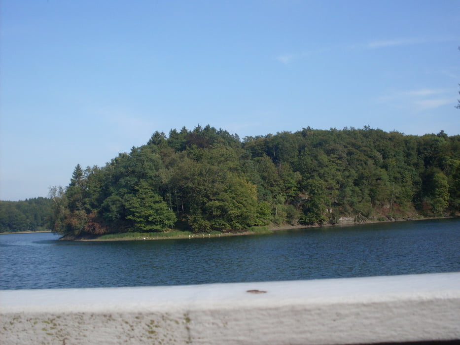
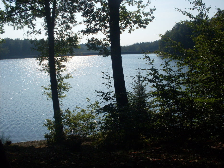
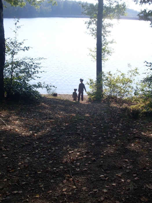
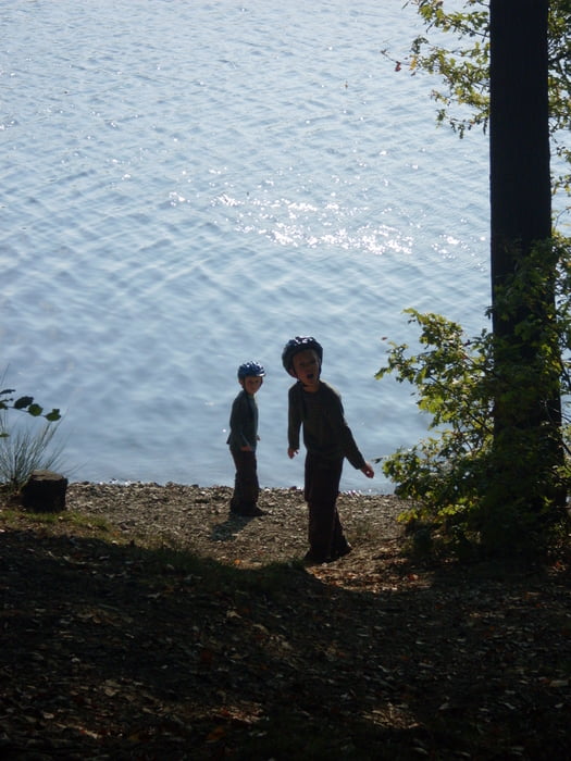
http://www.qype.com/place/155101-Neyetalsperre-Wipperfuerth

Tour gallery

Tour map and elevation profile

  • Open Street Map
  • Google
Minimum height 344 m Maximum height 386 m Detailed view

More about the tour author

de-tek
Member since 2009

Send private message

Comments

Thomas Schönstein on 03.05.2010

Radfahren verboten

Nur zur Info! Die Schilder sind ja groß genug.

Navigationsziel für die Anfahrt: Stadt Wipperfürth - Straße Großblumberg Ecke Sonneschein

Der Wanderparkplatz vor Cristians-Gasthaus-Zur-Neyetalsperre liegt dann in Sichtweite


GPS tracks

Trackpoints
  • GPX / Garmin Map Source (gpx) download
  • TCX / Garmin Training Center® (tcx) download
  • CRS / Garmin Training Center® (crs) download
  • Google Earth (kml) download
  • G7ToWin (g7t) download
  • TTQV (trk) download
  • Overlay (ovl) download
  • Fugawi (txt) download
  • Kompass (DAV) Track (tk) download
  • Track data sheet (pdf) download
  • Original file of the author (gpx) download

More about the tour author

de-tek
Member since 2009

Send private message
Share track
Add to my favorites
Remove from my favorites
Edit tags
My score
Rate
Track: Neyetalsperre
Type: Mountain bike
Distance: 10,2 km
Evaluated on:
Duration:
Day(s)
Hour(s)
Minute(s)
Score: Landscape Fun factor Fitness Technique