Login

Forgot your login?

Cookies have to be accepted!
Your browser's cookie functionality is disabled. Please enable this functionality.

Not a member yet?

Register now
Login

Available for registred users only

Log in to use this feature.

Forgot your login?

Cookies have to be accepted!
Your browser's cookie functionality is disabled. Please enable this functionality.

Not a member yet?

Register now
Filter
Categories
Advanced filters
  • Distance (km)
  • Height
Save filters Reset filter

TrackRank

QRCode

Technical data

Distance55,8 km Height920 m Way down883 m Duration04:30 h:m Date26.07.2006
Scores Author Landscape Fun factor Fitness Technique

Statistics

2093 Views Scores 315 Downloads Average
Rate
  • Track data sheet
  • Directions
  • Downloads
Start ist in Reinheim. Über Groß-Bieberau geht es Richtung Wersau. Auffahrt beim großen OHI Steinbruch in Richtung Nonroder Höhe. Von dort über die Rimdidim und einige schöne Single-Trails bis zum Kaiserturm. Von dort über Winterkasten nach Lichtenfels. Rast dort wg. Gewitter. Fortsetzung der Fahrt über Wald- und Feldwege bis ins Ostertal. Danach zurück über den Gersprenzradwanderweg nach Reinheim (Abkürzung wg. Schlwechtwetters).
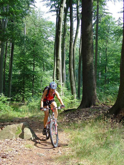
Tour gallery

Tour map and elevation profile

  • Open Street Map
  • Google
Minimum height 157 m Maximum height 619 m Detailed view

More about the tour author

Sonnblick0
Member since 2006

Send private message

Comments

bikerfuzzy on 14.04.2009

Supertour

Hi, wirklich ne supertour! Muss man wohl mehrmals fahren damit man die technischen Singltrails auch komplett durchfahren kann. Allerdings sind be mir nur 950hm zusammengekommen.
Start in Reinheim am ADAC-Übungsplatz

GPS tracks

Trackpoints
  • GPX / Garmin Map Source (gpx) download
  • TCX / Garmin Training Center® (tcx) download
  • CRS / Garmin Training Center® (crs) download
  • Google Earth (kml) download
  • G7ToWin (g7t) download
  • TTQV (trk) download
  • Overlay (ovl) download
  • Fugawi (txt) download
  • Kompass (DAV) Track (tk) download
  • Track data sheet (pdf) download
  • Original file of the author (g7t) download

More about the tour author

Sonnblick0
Member since 2006

Send private message
Share track
Add to my favorites
Remove from my favorites
Edit tags
My score
Rate
Track: Von Reinheim auf die Neunkirchner Höhe
Type: Mountain bike
Distance: 55,8 km
Evaluated on:
Duration:
Day(s)
Hour(s)
Minute(s)
Score: Landscape Fun factor Fitness Technique