Login

Forgot your login?

Cookies have to be accepted!
Your browser's cookie functionality is disabled. Please enable this functionality.

Not a member yet?

Register now
Login

Available for registred users only

Log in to use this feature.

Forgot your login?

Cookies have to be accepted!
Your browser's cookie functionality is disabled. Please enable this functionality.

Not a member yet?

Register now
Filter
Categories
Advanced filters
  • Distance (km)
  • Height
Save filters Reset filter

TrackRank

QRCode

Technical data

Distance35,1 km Height1077 m Way down1073 m Duration03:00 h:m Date18.09.2009
Scores Author Landscape Fun factor Fitness Technique

Statistics

2320 Views 3 Scores 319 Downloads 2.00 Average
Rate
  • Track data sheet
  • Directions
  • Downloads
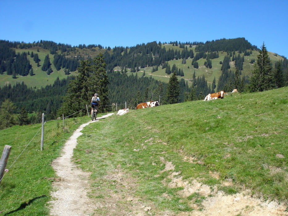
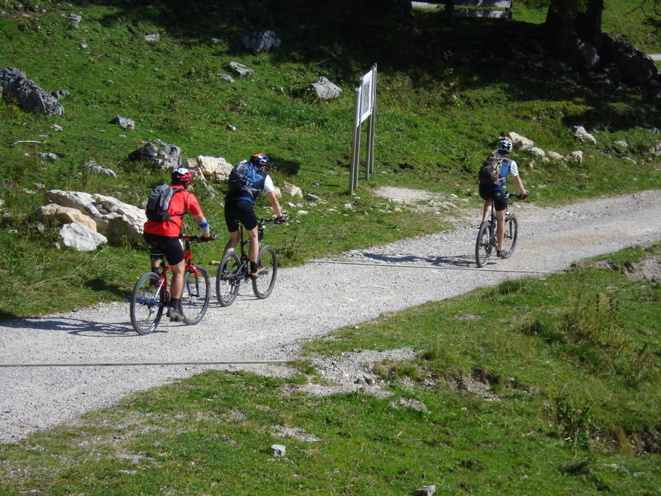
Kössen - Gundharting - Ried - Walchsee - Ankerwald - Stauding - Rettenschöß - Feistenau - Wandberghütte - Priener Hütte - Ottenalm - Edernalm - Kössen

Further information at

http://www.hegibiketours.de/

Tour gallery

Tour map and elevation profile

  • Open Street Map
  • Google
Minimum height 591 m Maximum height 1416 m Detailed view

More about the tour author

hegi
Member since 2007

Send private message

Comments

Dosenwurst87 on 23.05.2010

Super Strecke

Ich bin heute die Strecke gefahren. Ich war richtig begeistert. Der Anstieg war super und die Trails einfach genial gewesen. Würde die Strecke sofort nochmals fahren.
Top Strecke!!!!
Nick on 29.04.2011

Schöne Aussicht

Bis zur "Schönen Aussicht" muss man sich die Höhenmeter auf Teer und Forstwegen im Kampf gegen PKW und LKW hart erkämpfen. Dort, am Parkplatz, beginnt auch endlich der schöne Teil der Tour. Der Rundumblick ist wirklich traumhaft. Ab der Priener Hütte (nette Bedienung) trifft man dann auch auf mehr Wanderer und Biker. Die Abfahrt auf neu aufgeschotterter Forststrasse geht dann recht flott.
Start ist der zentrale Kreisel in Kössen!

GPS tracks

Trackpoints
  • GPX / Garmin Map Source (gpx) download
  • TCX / Garmin Training Center® (tcx) download
  • CRS / Garmin Training Center® (crs) download
  • Google Earth (kml) download
  • G7ToWin (g7t) download
  • TTQV (trk) download
  • Overlay (ovl) download
  • Fugawi (txt) download
  • Kompass (DAV) Track (tk) download
  • Track data sheet (pdf) download
  • Original file of the author (gpx) download

More about the tour author

hegi
Member since 2007

Send private message
Share track
Add to my favorites
Remove from my favorites
Edit tags
My score
Rate
Track: Von Kössen zur Priener Hütte
Type: Mountain bike
Distance: 35,1 km
Evaluated on:
Duration:
Day(s)
Hour(s)
Minute(s)
Score: Landscape Fun factor Fitness Technique