Login

Forgot your login?

Cookies have to be accepted!
Your browser's cookie functionality is disabled. Please enable this functionality.

Not a member yet?

Register now
Login

Available for registred users only

Log in to use this feature.

Forgot your login?

Cookies have to be accepted!
Your browser's cookie functionality is disabled. Please enable this functionality.

Not a member yet?

Register now
Filter
Categories
Advanced filters
  • Distance (km)
  • Height
Save filters Reset filter

TrackRank

QRCode

Technical data

Distance17,4 km Height351 m Way down336 m Duration02:00 h:m Date19.09.2009
Scores Author Landscape Fun factor Fitness Technique

Statistics

298 Views Scores 92 Downloads Average
Rate
  • Track data sheet
  • Directions
  • Downloads

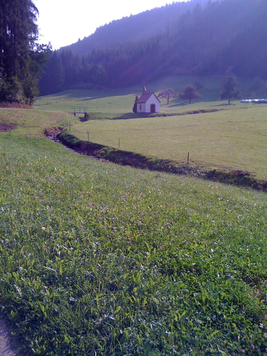
Schöne Einschwingrunde für die Familie...aber Vorsicht...ein Dikicht von Waldwegen lässt bei Downhill leicht den nächsten Abzweig verpassen...

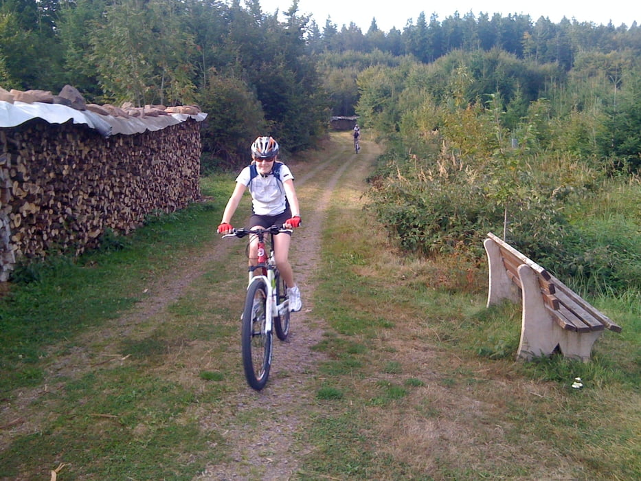
Der Anstieg zur Ettenheimer Hütte ist leicht und gut für die Familie machbar.


Unsere Kids waren 11 und 13.


Viele Grüße Thoams

Tour gallery

Tour map and elevation profile

  • Open Street Map
  • Google
Minimum height 212 m Maximum height 528 m Detailed view

More about the tour author

hellerich
Member since 2009

Send private message

Comments

GPS tracks

Trackpoints
  • GPX / Garmin Map Source (gpx) download
  • TCX / Garmin Training Center® (tcx) download
  • CRS / Garmin Training Center® (crs) download
  • Google Earth (kml) download
  • G7ToWin (g7t) download
  • TTQV (trk) download
  • Overlay (ovl) download
  • Fugawi (txt) download
  • Kompass (DAV) Track (tk) download
  • Track data sheet (pdf) download
  • Original file of the author (gpx) download

More about the tour author

hellerich
Member since 2009

Send private message
Share track
Add to my favorites
Remove from my favorites
Edit tags
My score
Rate
Track: Seelbacher Einschwingrunde in die Schwazrwälder Höhen
Type: Mountain bike
Distance: 17,4 km
Evaluated on:
Duration:
Day(s)
Hour(s)
Minute(s)
Score: Landscape Fun factor Fitness Technique