


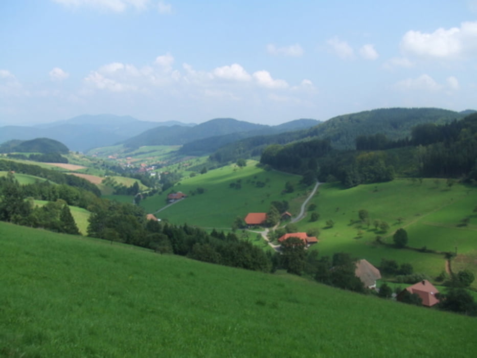
Familienoptimierte Runde mit Einkehr im Berggasthof.
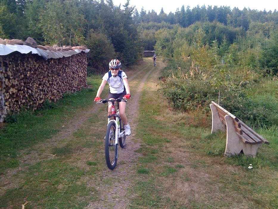
Der Einstieg aus dem Schuttertal ist etwas zäh für die Familie. Aber oben angelangt surft man auf der Höhe...abwechslungsreich auf Waldwegen und einigen Singletrailabschnitten.
Unterwegs kauft man echten Waldhonig und belohnt sich am Ende der Tour mit einem leckeren Essen im Berggasthof.
...unsere Kids sind 11 und 13 und waren begeistert...wer mag kann die Tour auf der Höhe noch weiter bis zur Burgruine ausbauen.
Viel Spass Euch...
Schöne Grüße Thomas
Tour gallery
Tour map and elevation profile
Minimum height 225 m
Maximum height 575 m
More about the tour author
|
|
hellerich |
Comments

GPS tracks
Trackpoints-
GPX / Garmin Map Source (gpx) download
-
TCX / Garmin Training Center® (tcx) download
-
CRS / Garmin Training Center® (crs) download
-
Google Earth (kml) download
-
G7ToWin (g7t) download
-
TTQV (trk) download
-
Overlay (ovl) download
-
Fugawi (txt) download
-
Kompass (DAV) Track (tk) download
-
Track data sheet (pdf) download
-
Original file of the author (gpx) download
More about the tour author
|
|
hellerich |
Add to my favorites
Remove from my favorites
Edit tags
Open track
My score
Rate