


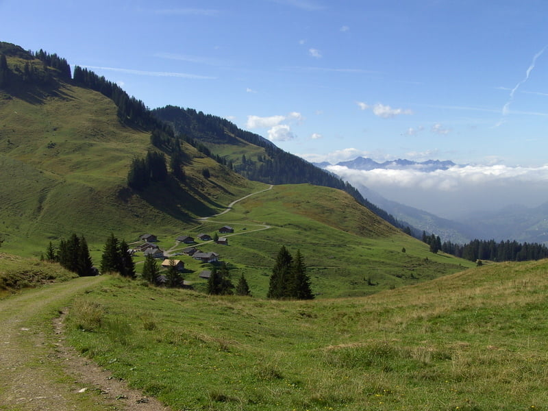
Landschaftlich reizvolle Tour im Großen Walsertal. Wir beginnen in Sonntag-Garsella und fahren hoch nach Marul. Danach Anstieg in moderater Steigung und kurze Abfahrt zum Sterisstüble. Nun folgt ein kurzer Anstieg unterhalb der Wangspitze und anschließend eine etwa 2 km lange Schiebestrecke zur Breithornhütte. Nun noch einmal eine 200 Hm steile Auffahrt zum höchsten Punkt der Tour. Anschließend Abfahrt über Sättele und Klesenzaalpe zum Buchboden und entlang des Lutzbaches zurück zum Ausgangpunkt.
Tour gallery


Tour map and elevation profile
Minimum height 729 m
Maximum height 1840 m
More about the tour author
|
|
yr1willi |
Comments

Von Westen Bludenz über Nenzing, von Norden über Au und Faschinajoch.
GPS tracks
Trackpoints-
GPX / Garmin Map Source (gpx) download
-
TCX / Garmin Training Center® (tcx) download
-
CRS / Garmin Training Center® (crs) download
-
Google Earth (kml) download
-
G7ToWin (g7t) download
-
TTQV (trk) download
-
Overlay (ovl) download
-
Fugawi (txt) download
-
Kompass (DAV) Track (tk) download
-
Track data sheet (pdf) download
-
Original file of the author (gpx) download
More about the tour author
|
|
yr1willi |
Add to my favorites
Remove from my favorites
Edit tags
Open track
My score
Rate