


Hier ein schöne Ausflugsrunde auf die Höhen des Nordschwarzwaldes.
Wege ist für jeden was dabei, Asphalt, Schotter, Wurzeln, ...
Von Stammheim geht es zunächst runter ins nagoldtal. Aufstieg von Kentheim aus.
Oben angekommen geht es über die Höhen des Schwarzwaldes bis nach Schömberg.
Zwischen Schömberg und Lengenhardt gibt eine vielzahl von wunderschönen Trail und Abfbarten die man beliebig kombinieren kann. Muss man machenm, ist wirklich ein Traum
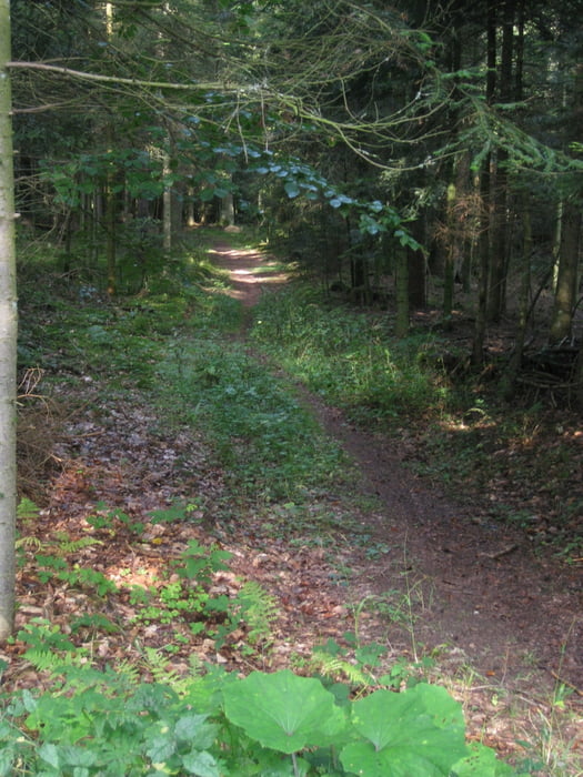
Tour gallery
Tour map and elevation profile
Minimum height 318 m
Maximum height 711 m
More about the tour author

|
godofglow |
Comments

Start und Stop wie immer das Rathaus in Stammheim.
GPS tracks
Trackpoints-
GPX / Garmin Map Source (gpx) download
-
TCX / Garmin Training Center® (tcx) download
-
CRS / Garmin Training Center® (crs) download
-
Google Earth (kml) download
-
G7ToWin (g7t) download
-
TTQV (trk) download
-
Overlay (ovl) download
-
Fugawi (txt) download
-
Kompass (DAV) Track (tk) download
-
Track data sheet (pdf) download
-
Original file of the author (gpx) download
More about the tour author
|
|
godofglow |
Add to my favorites
Remove from my favorites
Edit tags
Open track
My score
Rate