


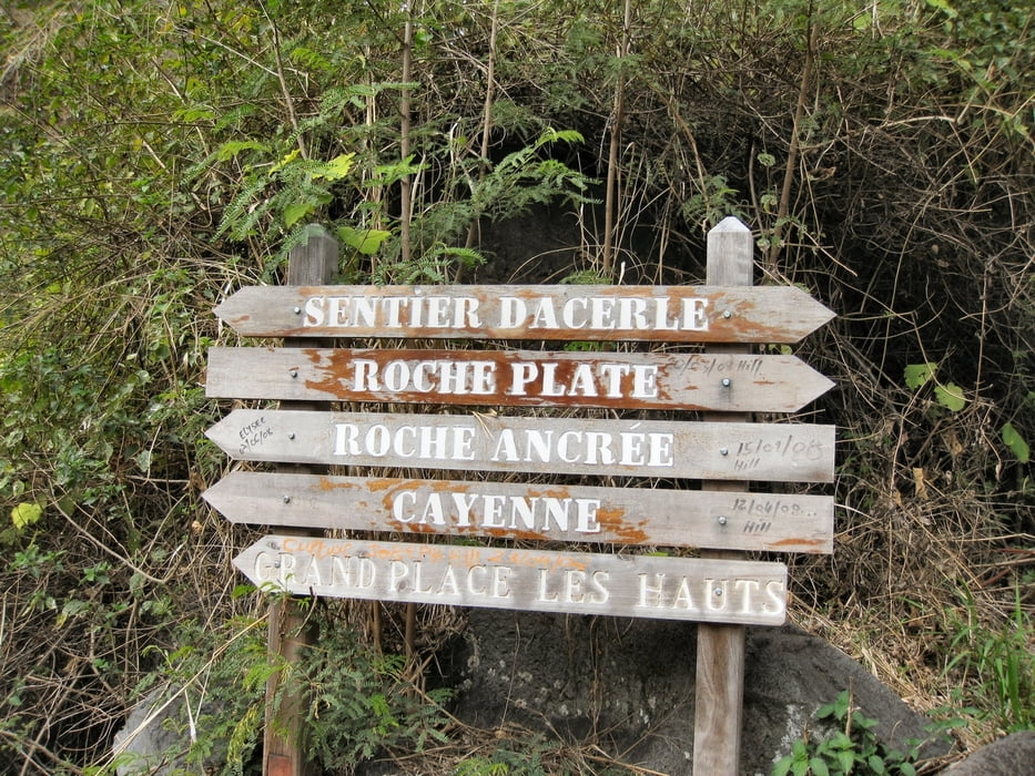
3. Etappe "Cirque de Mafate" - Von Roche Plate nach Cayenne
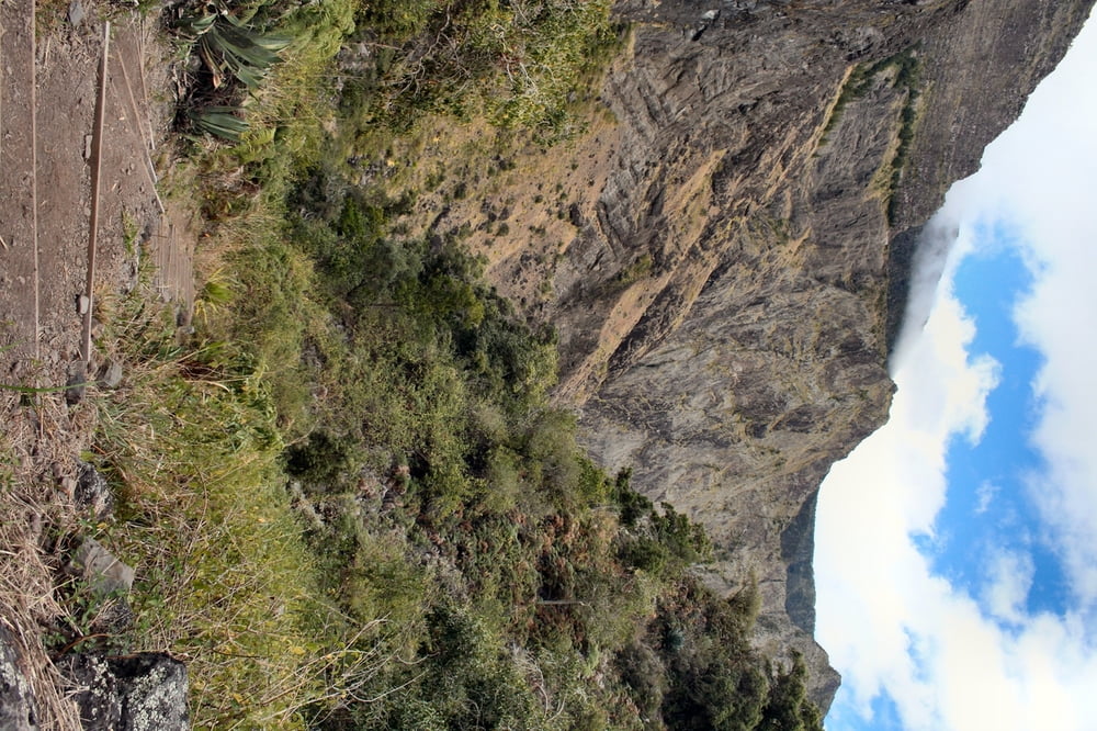
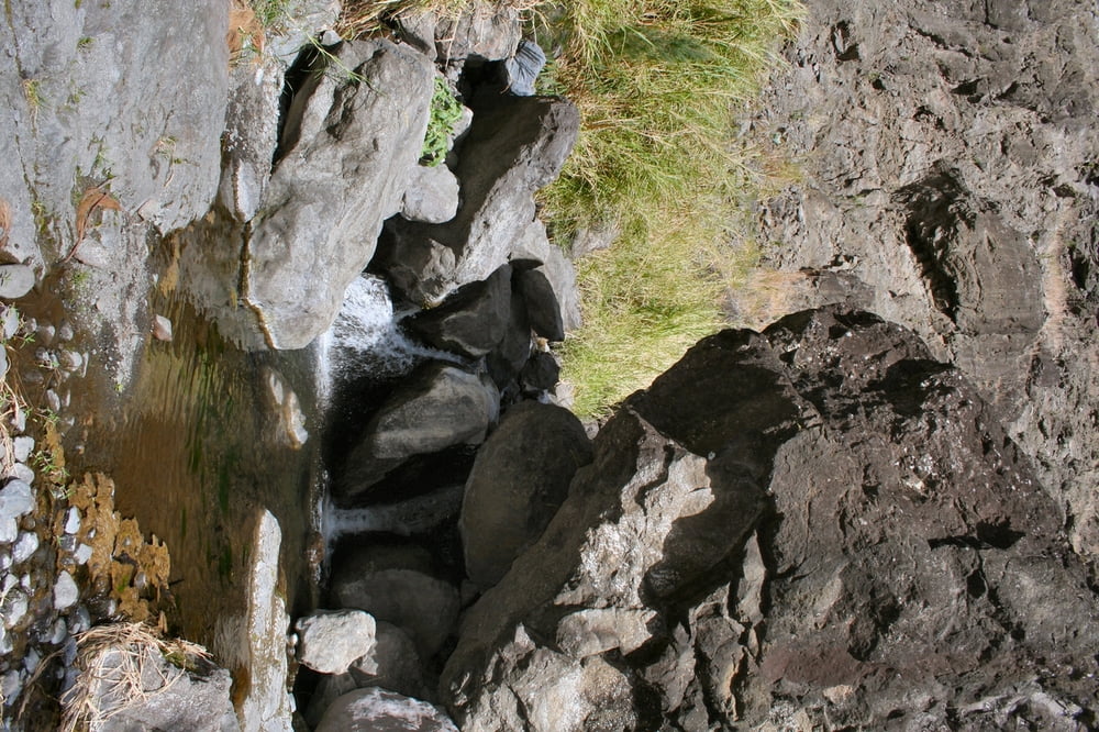
Nach der sehr anstrengenden 2. Etappe folgt nun wieder eine etwas einfachere, aber nicht minder spannende Tour. Es geht durch sehr unterschiedliche Landschaften: durch Nadelwälder, engen Schluchten und vorbei an tropischen Gewächsen.
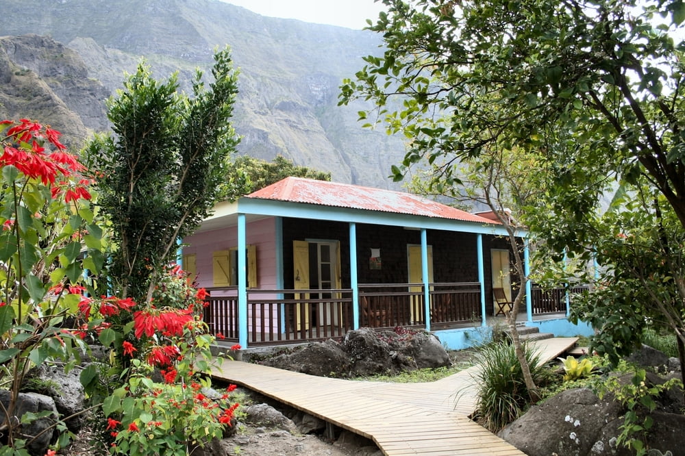
Übernachtet wird in einer Berghütte in Cayenne/Grand Place.
Wir verlassen zu Beginn der Wanderung die großen Wanderrouten GR Rx und wandern auf etwas kleineren Routen, aber auch dies sind durch gut sichtbare Markierungen nicht zu verfehlen.
Further information at
http://www.reunion-nature.comTour gallery
Tour map and elevation profile
Minimum height 426 m
Maximum height 1174 m
More about the tour author
|
|
MYSTERIOUSXL |
Comments

Die tour beginnt in Roche Plate, unserer Nachstation der vorherigen Etappe. Der Weg fängt am Eingang des Ortes an und führ zunächst etwas bergauf- bevor ein länger Abstieg ins Tal folgt.
GPS tracks
Trackpoints-
GPX / Garmin Map Source (gpx) download
-
TCX / Garmin Training Center® (tcx) download
-
CRS / Garmin Training Center® (crs) download
-
Google Earth (kml) download
-
G7ToWin (g7t) download
-
TTQV (trk) download
-
Overlay (ovl) download
-
Fugawi (txt) download
-
Kompass (DAV) Track (tk) download
-
Track data sheet (pdf) download
-
Original file of the author (gpx) download
More about the tour author
|
|
MYSTERIOUSXL |
Add to my favorites
Remove from my favorites
Edit tags
Open track
My score
Rate