

De tocht start in de Commandeurstraat te Mechelen.
Van hier uit rijden we rechtdoor de Bommerigerweg op.
Daarna komen we iets later langs het oude weeshuis het "Emmhaus".
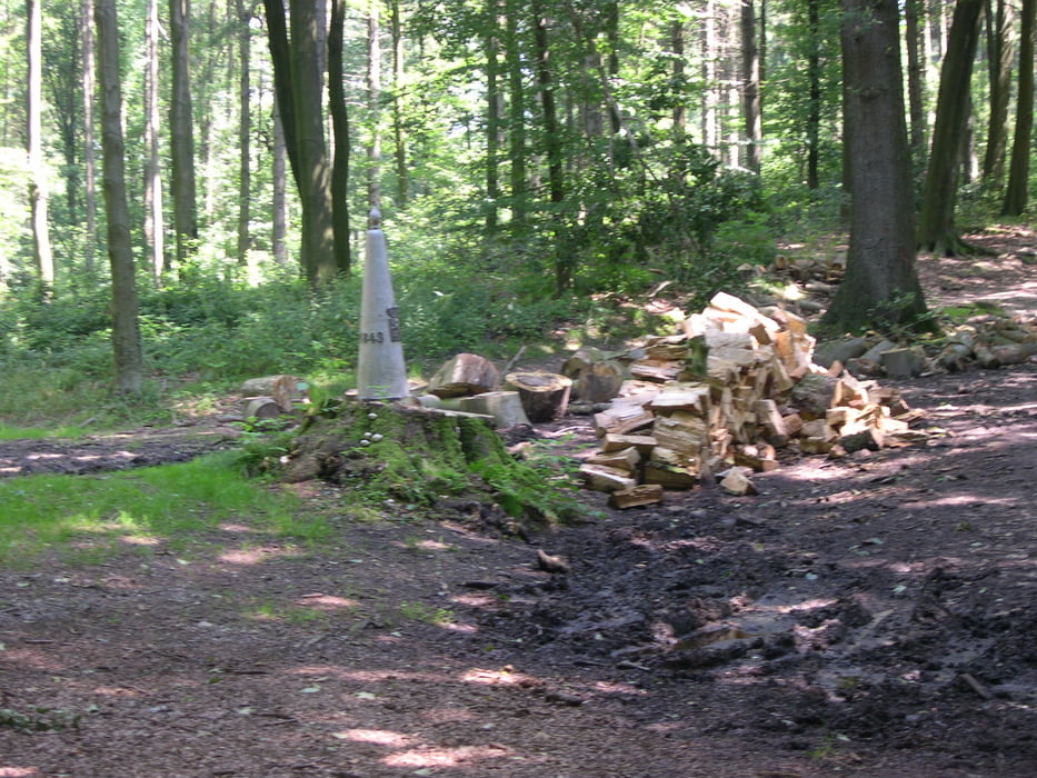
Waarna we via een mooie "stenige" klim in het vijlenerbos uitkomen.
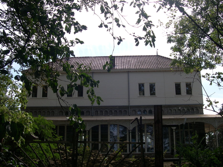
Vandaar gaat het via het boscafe "Het Hijgend Hert" over mooie paden richting de grensovergang de Wolfhaag.
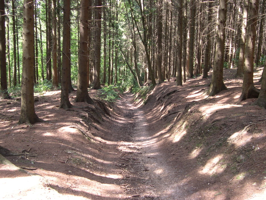
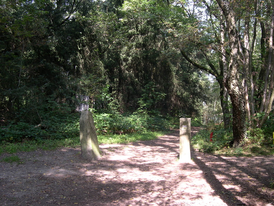
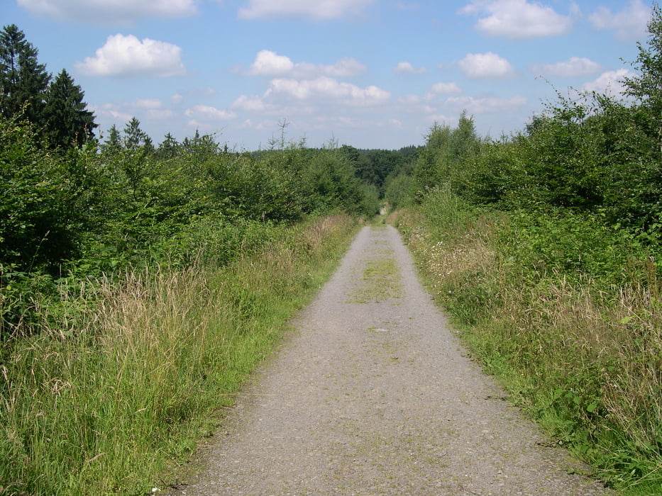
Dan biken we via mooie paden en singletrails naar het 3 landenpunt.
Van hieruit verloopt de tocht door het Akenerbos via mooi paden en vele singletrails komen we weer terug op het 3 landenpunt.
Vandaar gaat de tocht over weer gedeeltelijk de zelfde route terug naar Mechelen
Groene waypoints = heenweg -- Rode waypoints = terugweg
The tour starts in the commandeur straat at Mechelen. Of here from we biking straigt on to the Bommerigerweg. Afterwards we come the something later along the old orphanage " Emmhaus". Where upon we by means of beautiful " stony" uphill in the vijlenerwood ends up. Hence it goes by means of the bunch bar " The panting Hert" concerning beautiful paths direction the border crossing the wolf hedge. Then chipping we by means of beautiful paths and singletrails to 3 the country point. Of the tour goes by the Akenerwood by means of beautiful paths and a lot of singletrails return we on 3 the country point. Hence the excursion concerning partially same the route returns to Mechelen
Green waypoints = way there -- Red waypoints = way back
Die tour startet in der commandeur straat bei Mechelen. Von hier gerade aus zum Bommerigerweg. Danach kommen wir das etwas später entlang dem alten Waisenhaus " Emmhaus". Wo auf wir mittels des schönen " steinigen" aufwärts im vijlenerwald gelangen. Folglich geht es mittels des waldcafe " Das Keuchen Hirsch" hinsichtlich der schönen Wegrichtung die Grenzüberschreitung die Wolfhaag. Dann, biken wir mittels der schönen Wege und der singletrails bis 3 Landpunkt. Vom Ausflug geht durch das Akenerwald mittels der schönen Wege und viele singletrails bringen uns auf 3 der Landereck zurück. Folglich die tour hinsichtlich teilweise selben, die der Weg zu Mechelen zurückbringt.
Grüne waypoints = Hinweg -- Rote waypoints = rückweg
Tour gallery
Tour map and elevation profile
Minimum height 99 m
Maximum height 389 m
More about the tour author
|
|
BertAusten |
Comments

Commandeurstraat, 6281 AM Mechelen
GPS tracks
Trackpoints-
GPX / Garmin Map Source (gpx) download
-
TCX / Garmin Training Center® (tcx) download
-
CRS / Garmin Training Center® (crs) download
-
Google Earth (kml) download
-
G7ToWin (g7t) download
-
TTQV (trk) download
-
Overlay (ovl) download
-
Fugawi (txt) download
-
Kompass (DAV) Track (tk) download
-
Track data sheet (pdf) download
-
Original file of the author (gpx) download
More about the tour author
|
|
BertAusten |
Add to my favorites
Remove from my favorites
Edit tags
Open track
My score
Rate