Login

Forgot your login?

Cookies have to be accepted!
Your browser's cookie functionality is disabled. Please enable this functionality.

Not a member yet?

Register now
Login

Available for registred users only

Log in to use this feature.

Forgot your login?

Cookies have to be accepted!
Your browser's cookie functionality is disabled. Please enable this functionality.

Not a member yet?

Register now
Filter
Categories
Advanced filters
  • Distance (km)
  • Height
Save filters Reset filter

TrackRank

QRCode

Technical data

Distance36,3 km Height1568 m Way down1570 m Duration05:00 h:m Date23.09.2009
Scores Author Landscape Fun factor Fitness Technique

Statistics

1992 Views 1 Score 469 Downloads 3.00 Average
Rate
  • Track data sheet
  • Directions
  • Downloads
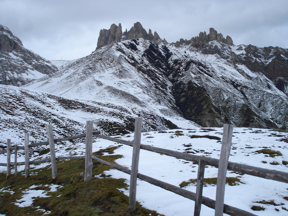
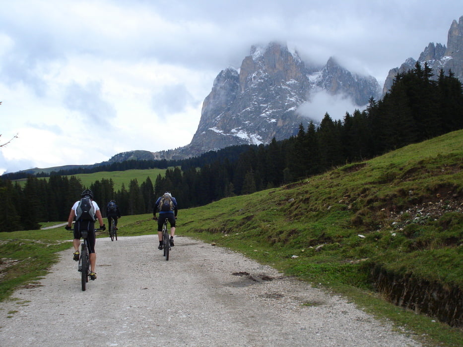
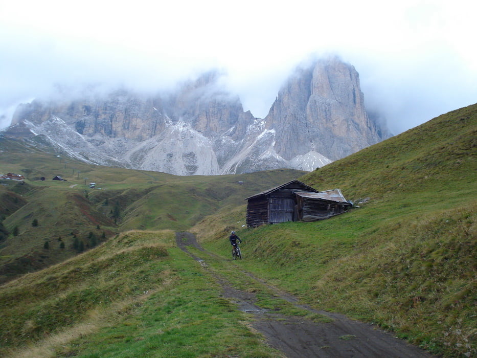
Campitello - Val Duron - Mahlknechtjoch - Tirler Hütte - Saltrei - Seiseralm - Col Marisan - Rifugio Emilio Comici - Steinerne Stadt - nähe Sella Joch - Lupo Bianco - Canazei - Campitello

Further information at

http://www.hegibiketours.de

Tour gallery

Tour map and elevation profile

  • Open Street Map
  • Google
Minimum height 1413 m Maximum height 2241 m Detailed view

More about the tour author

hegi
Member since 2007

Send private message

Comments

hoermi on 13.08.2018

geht auch gegen den Uhrzeigersinn

Wir sind von Campitello mit der Seilbahn zum Col Rodello auf ca. 2400 mNN gefahren. Von dort 200 Hm über Singletrail bergab zum Sellajoch und weiter Richtung Steinerne Stadt. Die Strecke ist teils ziemlich steil und man hat am Ende die schöne Abfahrt von der Plattkofelhütte durchs Val Duron wieder nach Campitello. Aufpassen, dass Ihr nicht Richtung Mahlknechtshütte fahrt. Das wär der falsche Weg. Die richtige Strecke geht möglicheweise übers Mahlknechtsjoch, angezeigt ist aber die Plattkofelhütte
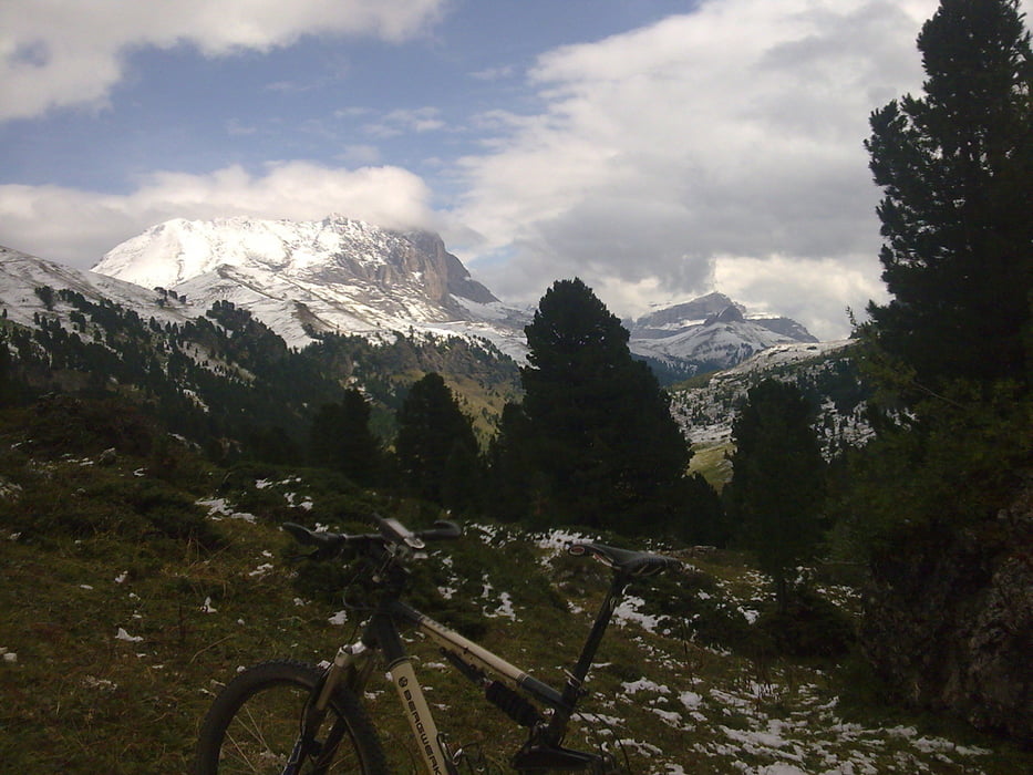
Start in Campitello - Fassatal

GPS tracks

Trackpoints
  • GPX / Garmin Map Source (gpx) download
  • TCX / Garmin Training Center® (tcx) download
  • CRS / Garmin Training Center® (crs) download
  • Google Earth (kml) download
  • G7ToWin (g7t) download
  • TTQV (trk) download
  • Overlay (ovl) download
  • Fugawi (txt) download
  • Kompass (DAV) Track (tk) download
  • Track data sheet (pdf) download
  • Original file of the author (gpx) download

More about the tour author

hegi
Member since 2007

Send private message
Share track
Add to my favorites
Remove from my favorites
Edit tags
My score
Rate
Track: Sasso Lungo Ronda / Langkofel Umrundung
Type: Mountain bike
Distance: 36,3 km
Evaluated on:
Duration:
Day(s)
Hour(s)
Minute(s)
Score: Landscape Fun factor Fitness Technique