


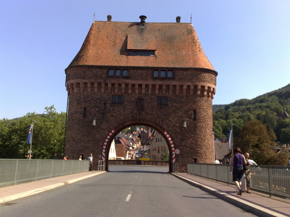
2. Tag, nach einer kurzen Nacht und einem guten Frühstück bei Thomas machte ich mich bei strahlend blauen Himmel auf den Weg nach Hessen. Loß ging es über die A6 nach Sinsheim und weiter kurz über Bayern nach Miltenberg. Immer Richtung Norden durchquerte ich den schönen Naturpark Bayerischer Spessart und überquerte die Landesgrenze nach Hessen. Nach einem kurzen Gewitterschauer suchte ich mir ein Nachtlager in Pfaffenhausen, da die Straßen nass waren und ich schon 8 Fahrtstunden in den Beinen hatte.
Tour gallery
Tour map and elevation profile
Minimum height 133 m
Maximum height 469 m
More about the tour author
|
|
titanbiker |
Comments

GPS tracks
Trackpoints-
GPX / Garmin Map Source (gpx) download
-
TCX / Garmin Training Center® (tcx) download
-
CRS / Garmin Training Center® (crs) download
-
Google Earth (kml) download
-
G7ToWin (g7t) download
-
TTQV (trk) download
-
Overlay (ovl) download
-
Fugawi (txt) download
-
Kompass (DAV) Track (tk) download
-
Track data sheet (pdf) download
-
Original file of the author (gpx) download
More about the tour author
|
|
titanbiker |
Add to my favorites
Remove from my favorites
Edit tags
Open track
My score
Rate