


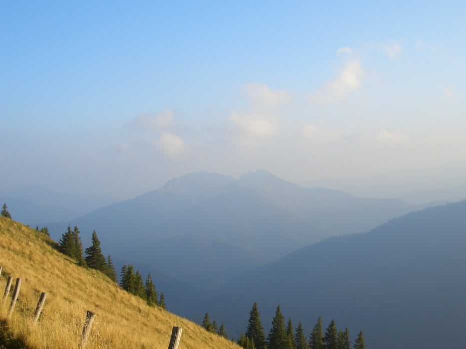
Die Tour startet am Achensee in Achenkirch. Es geht um den Roßstand und den Rotmöserkopf bis zur Gufferthütte und weiter bis es zwischen Halserspitz und Wilderlochberg hinunter geht Richtung Bayeralm. Dann geht es hinauf zum Schinder. Nach dem Schinder geht es über den Öderberg hinab zur weißen Valepp und wieder hinauf Richtung Sutten und Suttenstein. Dann geht es weiter zum Bodenschneid und von dort nach Schliersee
Tour gallery


Tour map and elevation profile
Minimum height 746 m
Maximum height 1659 m
More about the tour author

|
c-nes |
Comments

Anreise mit dem Auto, Abreise mit dem Zug
GPS tracks
Trackpoints-
GPX / Garmin Map Source (gpx) download
-
TCX / Garmin Training Center® (tcx) download
-
CRS / Garmin Training Center® (crs) download
-
Google Earth (kml) download
-
G7ToWin (g7t) download
-
TTQV (trk) download
-
Overlay (ovl) download
-
Fugawi (txt) download
-
Kompass (DAV) Track (tk) download
-
Track data sheet (pdf) download
-
Original file of the author (gpx) download
More about the tour author
|
|
c-nes |
Add to my favorites
Remove from my favorites
Edit tags
Open track
My score
Rate