


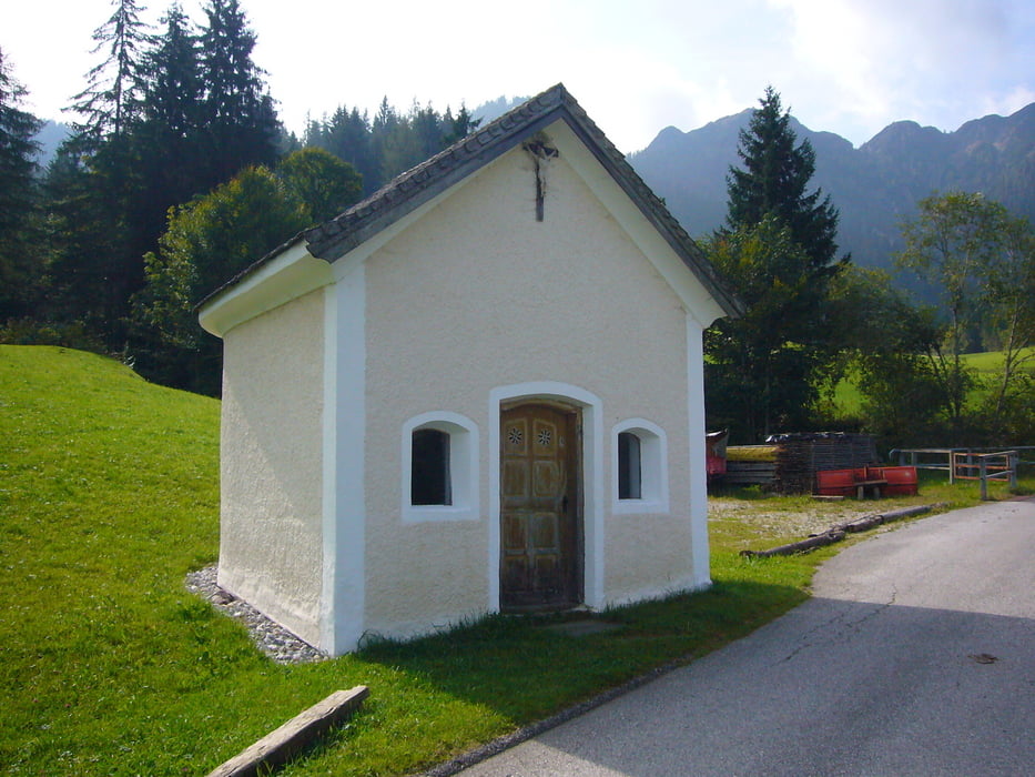
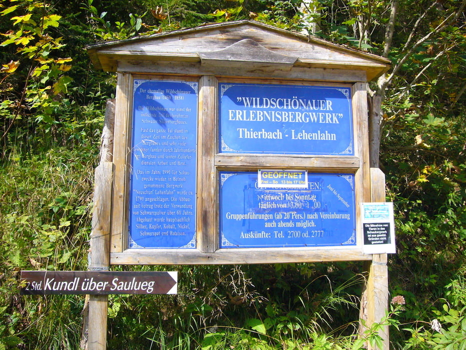
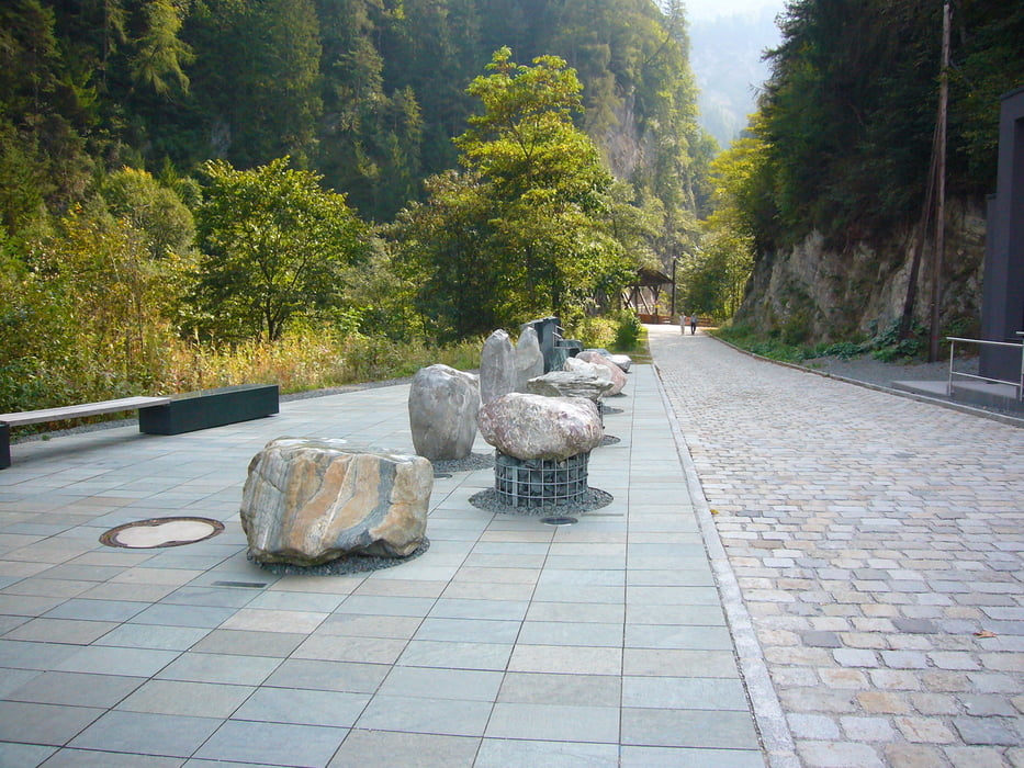
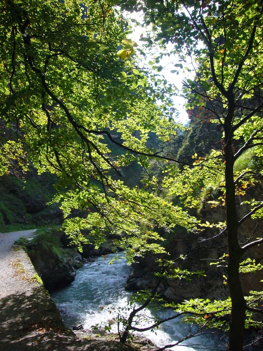
Im Mühltal die Wildschönauer Ache rechts liegen lassend die Straße nach Thierbach bergauf fahren. Hinter Thierbach die asphaltierte Straße bergab bis Endtal. Vor der Endtalkapelle rechts ab dem Schild "Kundl - Saulueg folgen. Dem schönem Schotterweg bergab am Schaubergwerk vorbei. Die zweite Hälfte des Weges ist asphaltiert und wir nach Kundl hin immer steiler. Am Parkplatz (Ausstellungsgebäude für Geologie - mit Cafe) rechts in die Kundler Klamm.Die Kundler Klamm zurück bis Mühltal. Bitte rücksichtsvoll fahren, da viele meditierende Fußgänger.
Tour gallery
Tour map and elevation profile
Minimum height 563 m
Maximum height 1174 m
More about the tour author
|
|
Adler1 |
Comments

GPS tracks
Trackpoints-
GPX / Garmin Map Source (gpx) download
-
TCX / Garmin Training Center® (tcx) download
-
CRS / Garmin Training Center® (crs) download
-
Google Earth (kml) download
-
G7ToWin (g7t) download
-
TTQV (trk) download
-
Overlay (ovl) download
-
Fugawi (txt) download
-
Kompass (DAV) Track (tk) download
-
Track data sheet (pdf) download
-
Original file of the author (gpx) download
More about the tour author
|
|
Adler1 |
Add to my favorites
Remove from my favorites
Edit tags
Open track
My score
Rate