

Deze Tour Start in de Commandeurstraat te Mechelen.
Hierna gaan we linksaf bergop naar het Elzetterbos,waar we enige tijd in rondrijden.
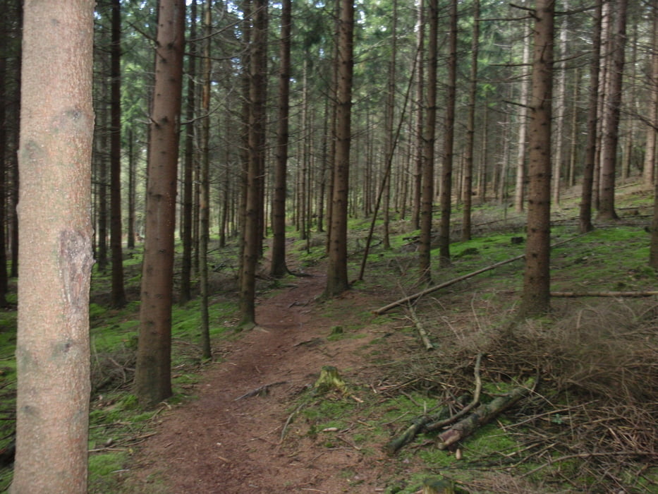
Daarna gaat de tocht verder in het vijlenerbos,waar we naar een pitige klim uitkomen bij het Boscafe "Het Hijgend Hert".
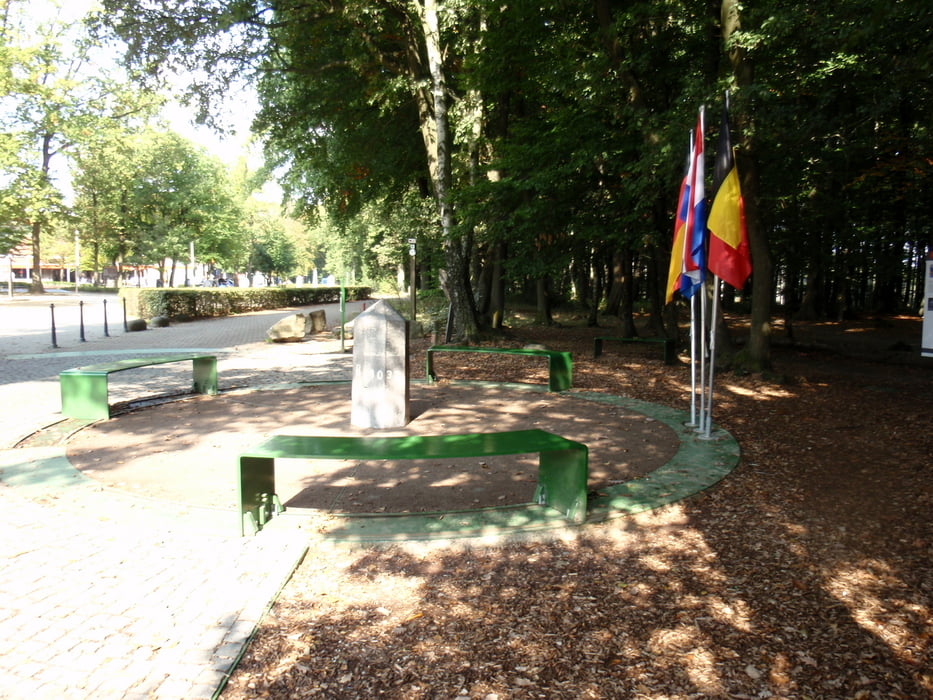
Vandaar uit draaien en keren en klimmen we enige tijd door het vijlenerbos,om uit te komen bij grensovergang de Wolfhaag,wwar we rechts en links gaan bergop naar het 3 landenpunt.
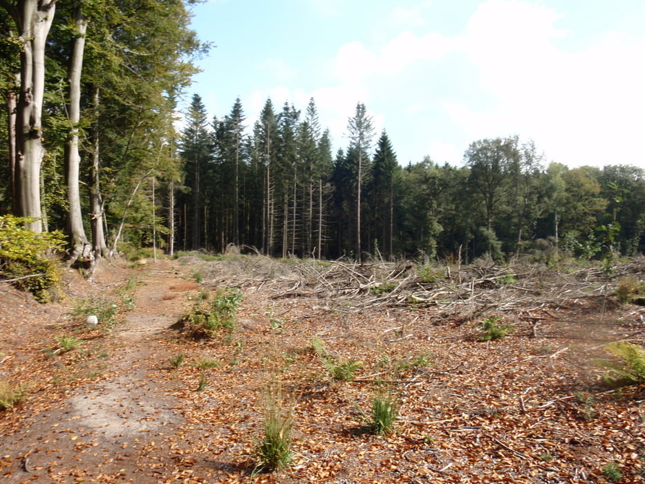
Dan verloopt de tocht verder via het Akenerbos om weer terug te komen bij het 3 landenpunt.
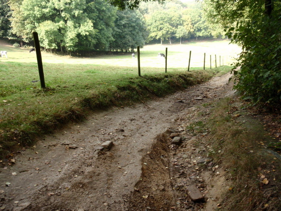
Op de terug weg nemen we op het laats iets andere route "downhill"
Let op bij de afdaling na bocht bij asphalt weg,liggen veel losse stenen!!
In deze tocht zitten vele mooie paden en singletrails.
Veel plezier en na afloop is voting en/of commentaar altijd welkom.
This Tour starts in the commandeur straat at Mechelen. Hereafter we go left uphill to the Elzetterwood, where we drive round some time in. Afterwards the tour goes further in the vijlenerwood, where we end up to pitige a klim at the bunch bar " The panting Hert". Hence to turn out and climbs we some time by the vijlenerwood, to end up at border crossing the wolfhaag, we Right and left goes bergop to 3 the country point. Then the tour goes further by means of the Akenerwood to return at 3 the country point. On we remove " on the late something other route; downhill" Much loose stones pay attention!! to at the descent after turning at asphalt gone, lie In this excursion are present paths and singletrails a lot of beautiful.
Much pleasure, and after result is voting and/or comment always welcome.
Diese tour beginnt im commandeur straat bei Mechelen. Nachher gehen wir nach links aufwärts zum Elzetterwald, wohin wir ringsum einige Zeit innen fahren. Danach geht die tour weiter in den vijlenerwald, in dem wir mit ein steilen anstieg beim waldcafe "das keuchende hirsch" kommen., Mit Ab und Aufstiege berichtigen wir einige Zeit durch das vijlenerwald folglich auszufallen, an der Grenzüberschreitung das wolfhaag oben zu beenden, wir und gehen nach links bergauf bis 3 der Landpunkt. Dann geht der Ausflug weiter mittels den Akenerwald, bei 3 den Landpunkt zurückzubringen. Auf entfernen uns " auf dem späten etwas anderer Weg; downhill" Viel lose Stein lohnaufmerksamkeit!! an zum Abfall, nach dem Drehen am gegangenen Asphalt. In dieser Tour sind singletrails und schöne pfaden. Viel Vergnügen! und nachdem Resultat wählt und/oder der Anmerkung immer Willkommen.
Tour gallery

Tour map and elevation profile
Minimum height 108 m
Maximum height 350 m
More about the tour author
|
|
BertAusten |
Comments

Commandeurstraat 6281 AM Mechelen
GPS tracks
Trackpoints-
GPX / Garmin Map Source (gpx) download
-
TCX / Garmin Training Center® (tcx) download
-
CRS / Garmin Training Center® (crs) download
-
Google Earth (kml) download
-
G7ToWin (g7t) download
-
TTQV (trk) download
-
Overlay (ovl) download
-
Fugawi (txt) download
-
Kompass (DAV) Track (tk) download
-
Track data sheet (pdf) download
-
Original file of the author (gpx) download
More about the tour author
|
|
BertAusten |
Add to my favorites
Remove from my favorites
Edit tags
Open track
My score
Rate