


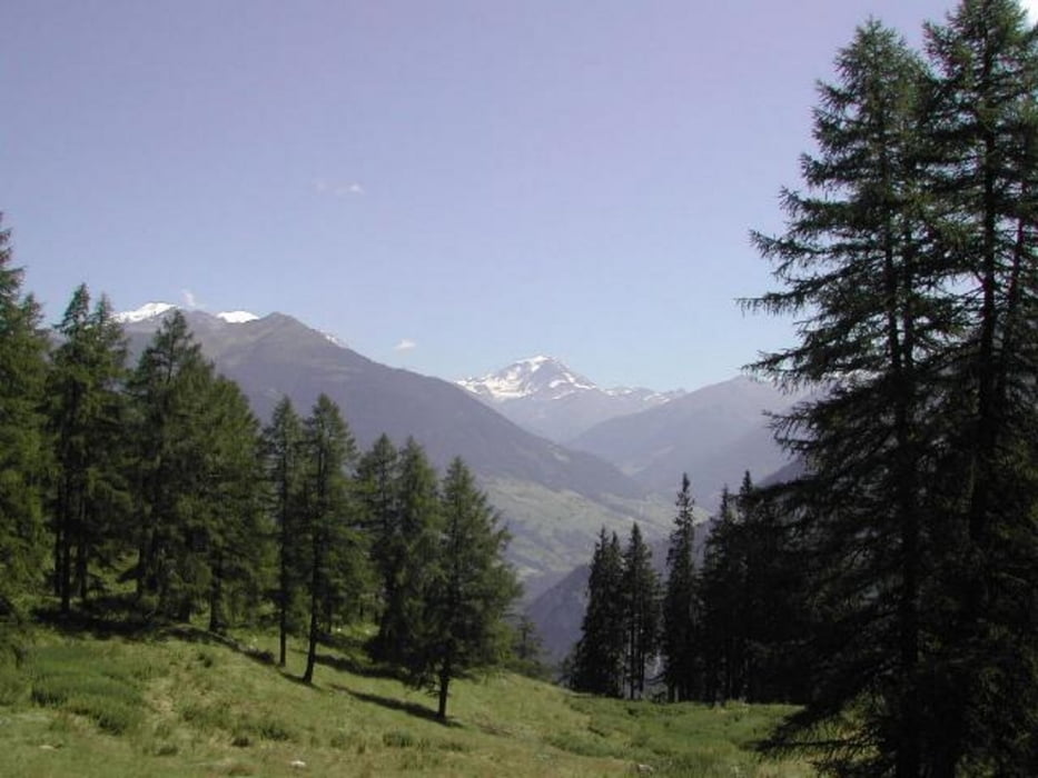
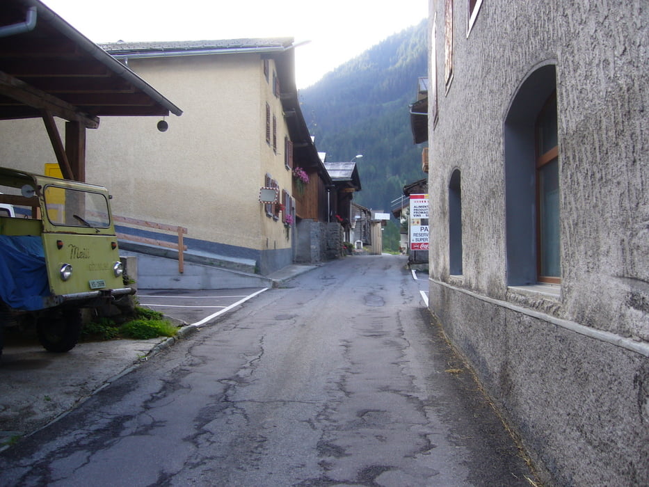
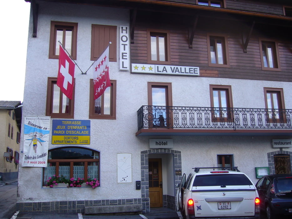
Nach 5h Fahrt komme ich in Martigny an und suche einen Parkplatz wo man kostenlos zwei Wochen parken kann. Start um 13.30Uhr in Martigny 477m auf einen großen Parkplatz vor einen Kaufhaus, wo ich das Auto auch nach zwei Wochen auch wieder fand. Umweg fast über den Col de Planches (1411m), höchster Punkt 1327m der Strecke über Sembrancher 717m sowie Bagnes weiter nach Loutier 1057m dem heutigen Zielpunkt. Übernachtung im Hotel La Vallee*** wegen Regen und Gewitter!
Durchschnittsgeschwindigkeit~12.5km/h
Durchschnittsgeschwindigkeit~12.5km/h
Further information at
http://www.bagnes.ch/Tour gallery
Tour map and elevation profile
Minimum height 474 m
Maximum height 1365 m
More about the tour author
|
|
Sport2008 |
Comments

* mit dem Auto über Schaffhausen, Zürich, Bern nach Martigny ca.5h
GPS tracks
Trackpoints-
GPX / Garmin Map Source (gpx) download
-
TCX / Garmin Training Center® (tcx) download
-
CRS / Garmin Training Center® (crs) download
-
Google Earth (kml) download
-
G7ToWin (g7t) download
-
TTQV (trk) download
-
Overlay (ovl) download
-
Fugawi (txt) download
-
Kompass (DAV) Track (tk) download
-
Track data sheet (pdf) download
-
Original file of the author (gpx) download
More about the tour author
|
|
Sport2008 |
Add to my favorites
Remove from my favorites
Edit tags
Open track
My score
Rate