


Hier alle Stationen der Reihe nach:
- Burbach
- Lützeln
- Siegerland Flughafen
- Liebenscheid
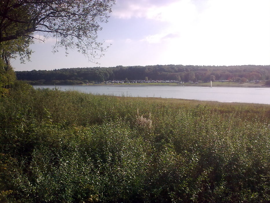
- Heisterberger Weiher
- Driedorf
- Driedorfer Stausee
- Krombacher Talsperre
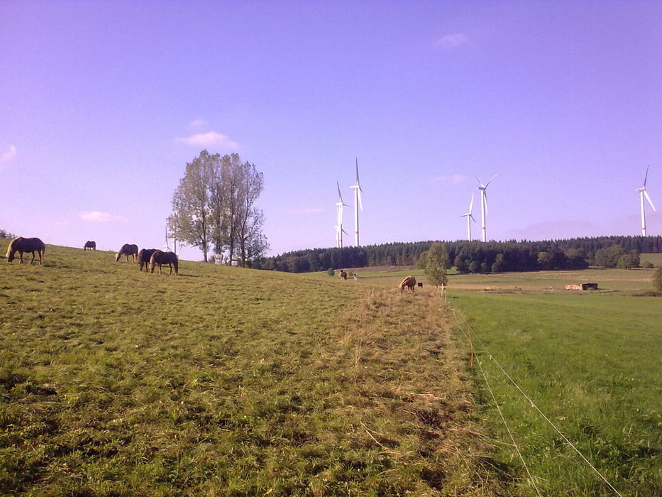
- Rehe
- Fuchskaute
- Liebenscheid
- Stegskopf
- Lippe
- Buchhellertal
- Burbach
Tour gallery
Tour map and elevation profile
Minimum height 369 m
Maximum height 653 m
More about the tour author
|
|
Sejerlenner |
Comments

Los gehts in Burbach, Parkplatz Landhausklinik, Hochstraße
GPS tracks
Trackpoints-
GPX / Garmin Map Source (gpx) download
-
TCX / Garmin Training Center® (tcx) download
-
CRS / Garmin Training Center® (crs) download
-
Google Earth (kml) download
-
G7ToWin (g7t) download
-
TTQV (trk) download
-
Overlay (ovl) download
-
Fugawi (txt) download
-
Kompass (DAV) Track (tk) download
-
Track data sheet (pdf) download
-
Original file of the author (gpx) download
More about the tour author
|
|
Sejerlenner |
Add to my favorites
Remove from my favorites
Edit tags
Open track
My score
Rate