Login

Forgot your login?

Cookies have to be accepted!
Your browser's cookie functionality is disabled. Please enable this functionality.

Not a member yet?

Register now
Login

Available for registred users only

Log in to use this feature.

Forgot your login?

Cookies have to be accepted!
Your browser's cookie functionality is disabled. Please enable this functionality.

Not a member yet?

Register now
Filter
Categories
Advanced filters
  • Distance (km)
  • Height
Save filters Reset filter

TrackRank

QRCode

Technical data

Distance80,7 km Height888 m Way down896 m Duration05:20 h:m Date27.09.2009
Scores Author Landscape Fun factor Fitness Technique

Statistics

616 Views Scores 50 Downloads Average
Rate
  • Track data sheet
  • Directions
  • Downloads
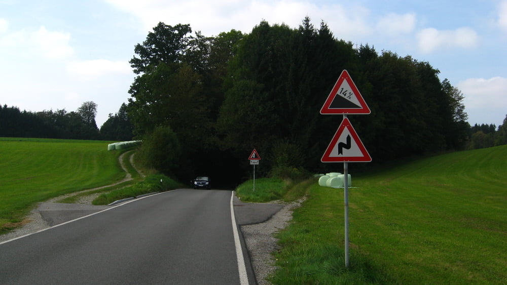
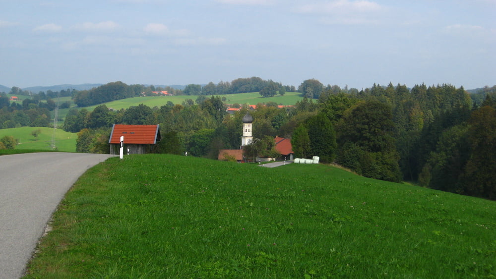
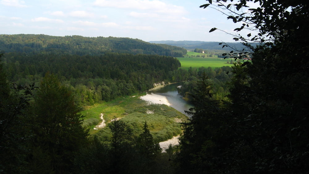
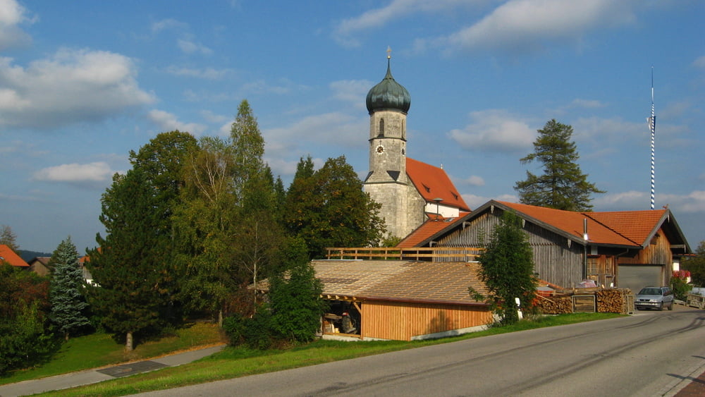
Eine sehr schöne Tour mit endlosen Auf und Ab. Anfang/Ende bei der S-Bahn Stationen Holzkirchen/Otterfing. Zwischen Trackpunkten 510-540 ist ein Sumpf. Hier lieber den Fahrrad schieben oder tragen. Sonst überall Asphalt/Schotter ist gut befahrbar. Essen und trinken kann man unterwegs fast in jedem Dorf.

Tour gallery

Tour map and elevation profile

  • Open Street Map
  • Google
Minimum height 608 m Maximum height 732 m Detailed view

More about the tour author

maklaj
Member since 2009

Send private message

Comments

S-Bahn Otterfing und/oder Holzkirchen.

GPS tracks

Trackpoints
  • GPX / Garmin Map Source (gpx) download
  • TCX / Garmin Training Center® (tcx) download
  • CRS / Garmin Training Center® (crs) download
  • Google Earth (kml) download
  • G7ToWin (g7t) download
  • TTQV (trk) download
  • Overlay (ovl) download
  • Fugawi (txt) download
  • Kompass (DAV) Track (tk) download
  • Track data sheet (pdf) download
  • Original file of the author (gpx) download

More about the tour author

maklaj
Member since 2009

Send private message
Share track
Add to my favorites
Remove from my favorites
Edit tags
My score
Rate
Track: Holzkirchen Bad Heilbrunn Otterfing
Type: Mountain bike
Distance: 80,7 km
Evaluated on:
Duration:
Day(s)
Hour(s)
Minute(s)
Score: Landscape Fun factor Fitness Technique