


Die Tour startet am Bahnhof in Oberstdorf. Zunächst geht es hinauf zur Nebelhorn Bergstation über die Seealpe. Anschließend wird über das Wengenbachtal abgestiegen. Entlang der Ostrach geht es bis zum Willersbachtal, das dann aufgestiegen wird bis zum Zirlsegg. Über das Älplebachtal steigt man dann ab nach Tannheim. Es geht durch Tannheim und Grän hindurch und über das Seebachtal und die Seebenalpe hinauf zum Vilser Jöchl. Anschließend kommt man über die Vilser Alpe nach Vils. Dann folgt man dem Weg nach Füssen entlang dem Lech.
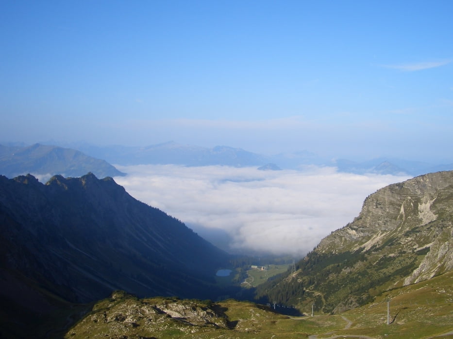
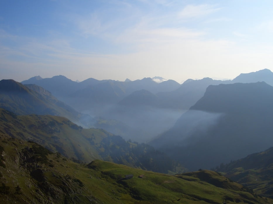
Tour gallery


Tour map and elevation profile
Minimum height 790 m
Maximum height 1991 m
More about the tour author

|
c-nes |
Comments

Mit der Bahn nach Oberstdorf und mit der Bahn von Füssen wieder zurück.
GPS tracks
Trackpoints-
GPX / Garmin Map Source (gpx) download
-
TCX / Garmin Training Center® (tcx) download
-
CRS / Garmin Training Center® (crs) download
-
Google Earth (kml) download
-
G7ToWin (g7t) download
-
TTQV (trk) download
-
Overlay (ovl) download
-
Fugawi (txt) download
-
Kompass (DAV) Track (tk) download
-
Track data sheet (pdf) download
-
Original file of the author (gpx) download
More about the tour author
|
|
c-nes |
Add to my favorites
Remove from my favorites
Edit tags
Open track
My score
Rate