Login

Forgot your login?

Cookies have to be accepted!
Your browser's cookie functionality is disabled. Please enable this functionality.

Not a member yet?

Register now
Login

Available for registred users only

Log in to use this feature.

Forgot your login?

Cookies have to be accepted!
Your browser's cookie functionality is disabled. Please enable this functionality.

Not a member yet?

Register now
Filter
Categories
Advanced filters
  • Distance (km)
  • Height
Save filters Reset filter

TrackRank

QRCode

Technical data

Distance89,4 km Height433 m Way down416 m Duration03:00 h:m Date28.09.2009
Scores Author Landscape Fun factor Fitness Technique

Statistics

3383 Views Scores 270 Downloads Average
Rate
  • Track data sheet
  • Directions
  • Downloads
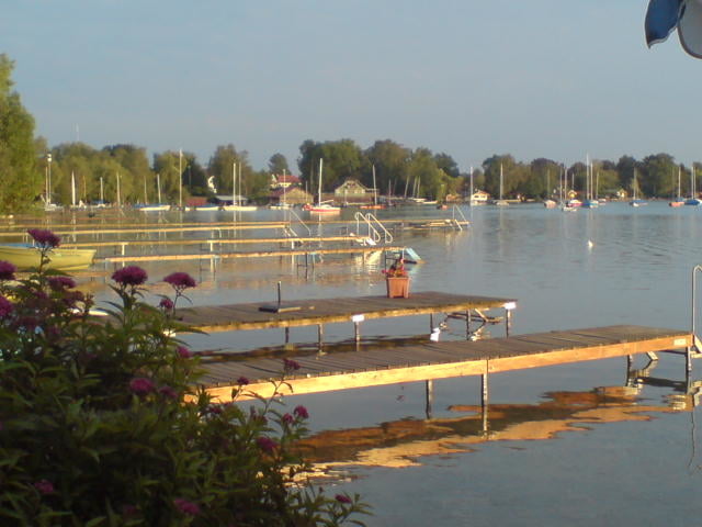
Für Alle die im Westen von München starten wollen können so die Stadt recht schnell über kleine Strasse verlassen. Es geht um den Wörthsee zum Ammersee. Zurück geht's über Türkenfeld und FFB.

Tour gallery

Tour map and elevation profile

  • Open Street Map
  • Google
Minimum height 479 m Maximum height 603 m Detailed view

More about the tour author

tlorenz
Member since 2007

Send private message

Comments

GPS tracks

Trackpoints
  • GPX / Garmin Map Source (gpx) download
  • TCX / Garmin Training Center® (tcx) download
  • CRS / Garmin Training Center® (crs) download
  • Google Earth (kml) download
  • G7ToWin (g7t) download
  • TTQV (trk) download
  • Overlay (ovl) download
  • Fugawi (txt) download
  • Kompass (DAV) Track (tk) download
  • Track data sheet (pdf) download
  • Original file of the author (gpx) download

More about the tour author

tlorenz
Member since 2007

Send private message
Share track
Add to my favorites
Remove from my favorites
Edit tags
My score
Rate
Track: Ein Tour vom Münchner Westen zum Ammersee und zurück über FFB
Type: Road biking
Distance: 89,4 km
Evaluated on:
Duration:
Day(s)
Hour(s)
Minute(s)
Score: Landscape Fun factor Fitness Technique