Login

Forgot your login?

Cookies have to be accepted!
Your browser's cookie functionality is disabled. Please enable this functionality.

Not a member yet?

Register now
Login

Available for registred users only

Log in to use this feature.

Forgot your login?

Cookies have to be accepted!
Your browser's cookie functionality is disabled. Please enable this functionality.

Not a member yet?

Register now
Filter
Categories
Advanced filters
  • Distance (km)
  • Height
Save filters Reset filter

TrackRank

QRCode

Technical data

Distance8,5 km Height163 m Way down176 m Duration02:00 h:m Date28.09.2009
Scores Author Landscape Fun factor Fitness Technique

Statistics

1585 Views Scores 212 Downloads Average
Rate
  • Track data sheet
  • Directions
  • Downloads
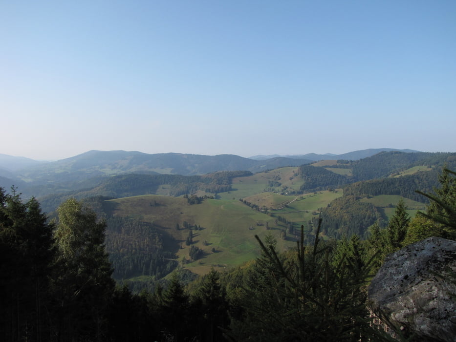
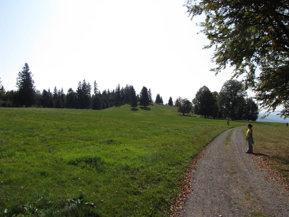
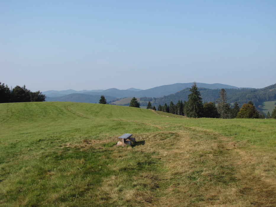
Schöne Tour beim Almgasthaus Knöpflesbrunnen,mit toller Aussicht ins Wiesental,Wieden und je nach Wetterlage in die Schweizer Alpen.

Tour gallery

Tour map and elevation profile

  • Open Street Map
  • Google
Minimum height 1057 m Maximum height 1127 m Detailed view

More about the tour author

yorkton
Member since 2008

Send private message

Comments

Von Utzenfeld in Richtung Wieden,in Königshütte rechts nach Knöpflesbrunnen fahren.

Unterhalb vom Gasthaus befindet sich ein Parkplatz.

GPS tracks

Trackpoints
  • GPX / Garmin Map Source (gpx) download
  • TCX / Garmin Training Center® (tcx) download
  • CRS / Garmin Training Center® (crs) download
  • Google Earth (kml) download
  • G7ToWin (g7t) download
  • TTQV (trk) download
  • Overlay (ovl) download
  • Fugawi (txt) download
  • Kompass (DAV) Track (tk) download
  • Track data sheet (pdf) download
  • Original file of the author (gpx) download

More about the tour author

yorkton
Member since 2008

Send private message
Share track
Add to my favorites
Remove from my favorites
Edit tags
My score
Rate
Track: Almgasthaus Knöpflesbrunnen
Type: Hiking
Distance: 8,5 km
Evaluated on:
Duration:
Day(s)
Hour(s)
Minute(s)
Score: Landscape Fun factor Fitness Technique