


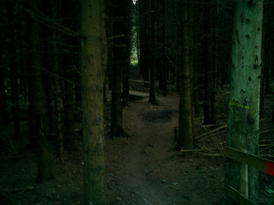
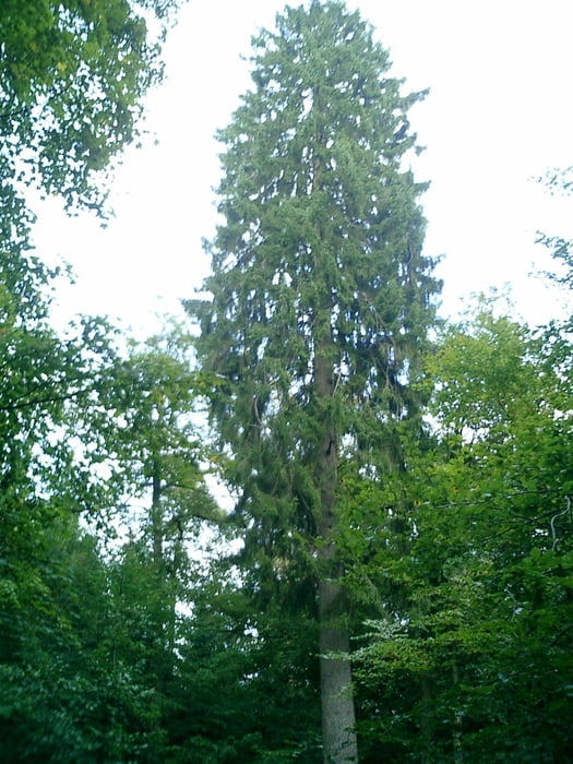
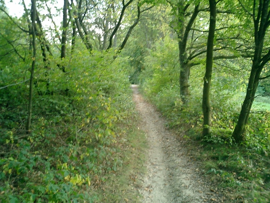
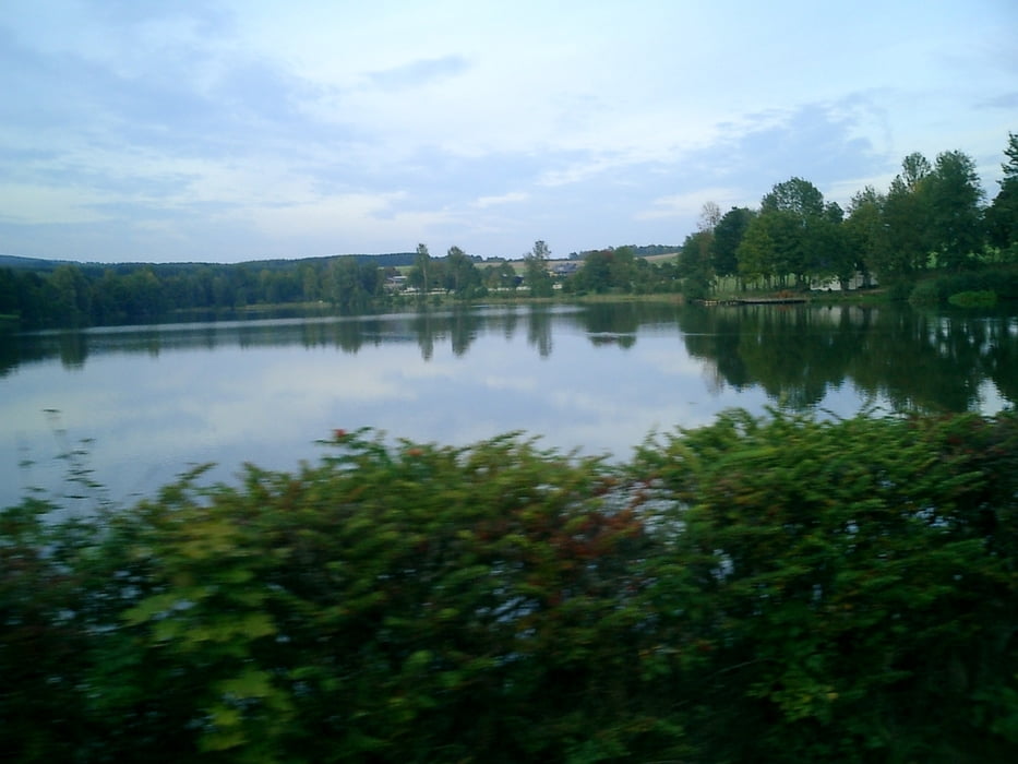
Auf dem Saar-Hunsrück Steig (bitte nicht am Wochenende fahren mit Rücksicht auf die Wanderer !) bis zum Keller See und von dort aus durch den Wald Richtung Grimburg. Entlang der Wadrill fahren wir bis zum Keller Steg und weiter hoch nach Gusenburg. Von dort aus durch das Wochenendgebiet wieder zurück.
Further information at
http://www.kellamsee.de/Aktuelles/aktuelles.htmlTour gallery
Tour map and elevation profile
Minimum height 447 m
Maximum height 597 m
More about the tour author
|
|
wblasius |
Comments

Bus: R200 bis Bahnhof Hermeskeil
Auto: A1 Kaiserslautern - Trier -- Autobahnabfahrt Hermeskeil
GPS tracks
Trackpoints-
GPX / Garmin Map Source (gpx) download
-
TCX / Garmin Training Center® (tcx) download
-
CRS / Garmin Training Center® (crs) download
-
Google Earth (kml) download
-
G7ToWin (g7t) download
-
TTQV (trk) download
-
Overlay (ovl) download
-
Fugawi (txt) download
-
Kompass (DAV) Track (tk) download
-
Track data sheet (pdf) download
-
Original file of the author (gpx) download
More about the tour author
|
|
wblasius |
Add to my favorites
Remove from my favorites
Edit tags
Open track
My score
Rate