


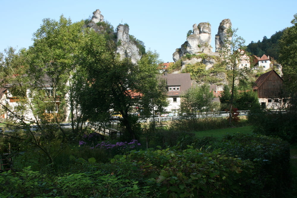
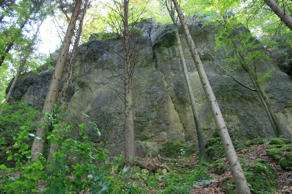
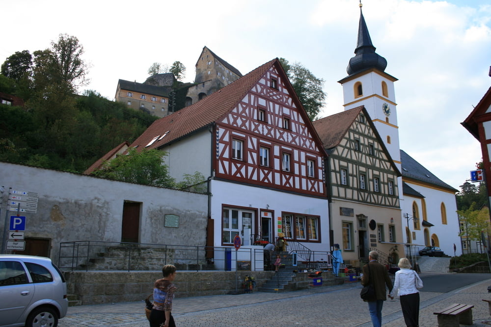
Ausgangspunkt: Parkplatz Freibad in Gössweinstein. Zuerst geht es an einem Pferde- und Ponyhof vorbei in Richtung Tüchersfeld. An der Kapelle rechts abbiegen Richtung Pottenstein. Entlang an vielen Felsen erreicht man das schöne Pottenstein. Nach einr Rast im Gasthof zur Krone geht es weiter in Richtung Hühnerloh zurück nach Gösseweinstein. Die Wanderung führt fast nur durch Wälder und sehr schönen schmalen Wanderwege.
Tour gallery
Tour map and elevation profile
Minimum height 307 m
Maximum height 455 m
More about the tour author
|
|
Perro85 |
Comments

GPS tracks
Trackpoints-
GPX / Garmin Map Source (gpx) download
-
TCX / Garmin Training Center® (tcx) download
-
CRS / Garmin Training Center® (crs) download
-
Google Earth (kml) download
-
G7ToWin (g7t) download
-
TTQV (trk) download
-
Overlay (ovl) download
-
Fugawi (txt) download
-
Kompass (DAV) Track (tk) download
-
Track data sheet (pdf) download
-
Original file of the author (gpx) download
More about the tour author
|
|
Perro85 |
Add to my favorites
Remove from my favorites
Edit tags
Open track
My score
Rate