


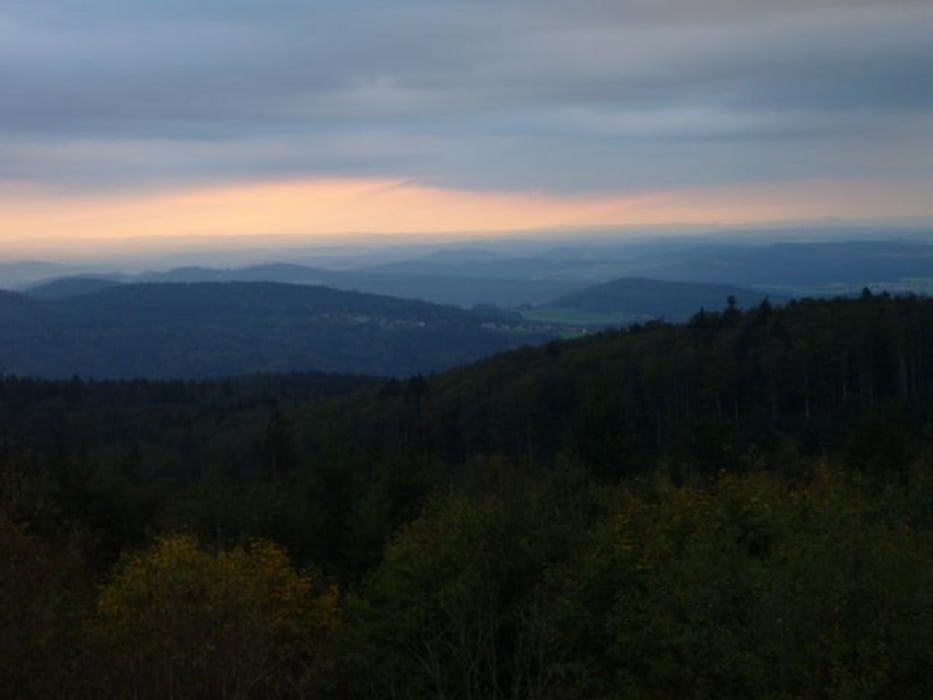
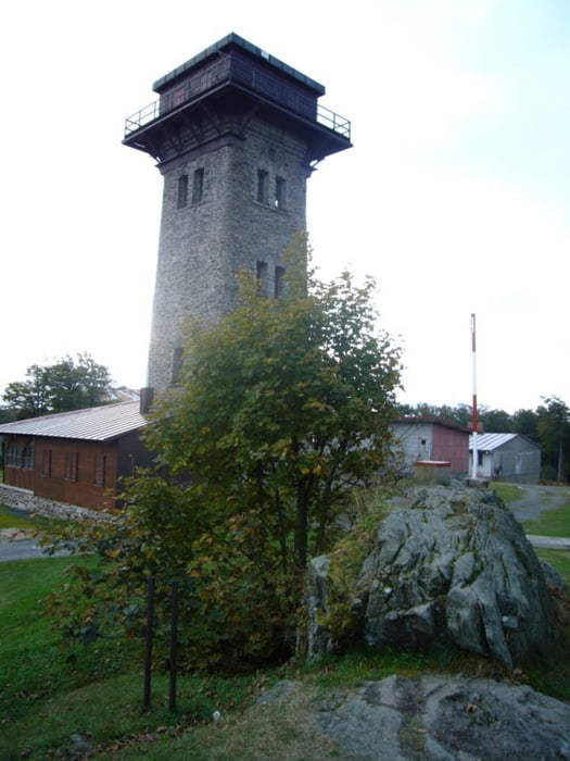
Die Tour verläuft auf geschotterten Waldwegen und Pfaden. Der Grenzpfad hinunter vom Grenzübergang Brombeerriegel ist relativ steil und zum Teil sehr schmal, daher sie Einstufung "5" für die Technik. Schöne Aussichtspunkte sind an der Roberthütte mit Blick auf die Further Senke und vom Gipfel des Cerchov.
Further information at
http://www.bergwacht-bayern.org/7650.0.htmlTour gallery
Tour map and elevation profile
Minimum height 472 m
Maximum height 1033 m
More about the tour author

|
grenz-pfad-fahrer |
Comments

Von Furth im Wald die Glaserstraße stadtauswärts. Startpunkt der Tour ist Voithenberghütte
GPS tracks
Trackpoints-
GPX / Garmin Map Source (gpx) download
-
TCX / Garmin Training Center® (tcx) download
-
CRS / Garmin Training Center® (crs) download
-
Google Earth (kml) download
-
G7ToWin (g7t) download
-
TTQV (trk) download
-
Overlay (ovl) download
-
Fugawi (txt) download
-
Kompass (DAV) Track (tk) download
-
Track data sheet (pdf) download
-
Original file of the author (gpx) download
More about the tour author
|
|
grenz-pfad-fahrer |
Add to my favorites
Remove from my favorites
Edit tags
Open track
My score
Rate