Login

Forgot your login?

Cookies have to be accepted!
Your browser's cookie functionality is disabled. Please enable this functionality.

Not a member yet?

Register now
Login

Available for registred users only

Log in to use this feature.

Forgot your login?

Cookies have to be accepted!
Your browser's cookie functionality is disabled. Please enable this functionality.

Not a member yet?

Register now
Filter
Categories
Advanced filters
  • Distance (km)
  • Height
Save filters Reset filter

TrackRank

QRCode

Technical data

Distance18,5 km Height177 m Way down155 m Duration01:01 h:m Date02.10.2009
Scores Author Landscape Fun factor Fitness Technique

Statistics

1105 Views Scores 63 Downloads Average
Rate
  • Track data sheet
  • Directions
  • Downloads

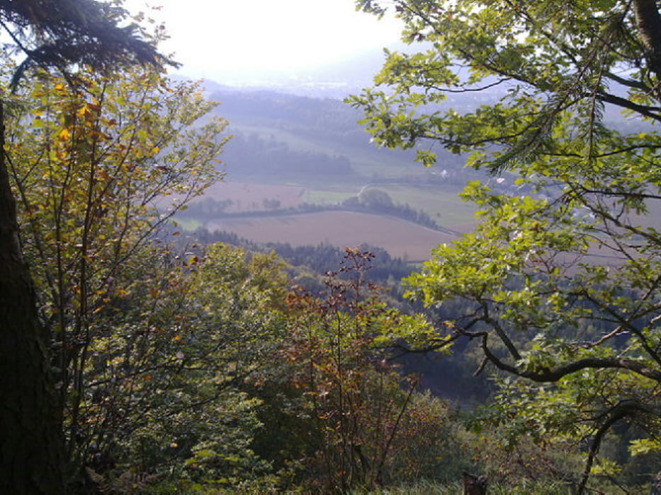
Schön angenehm gehts bergauf, dann ein Downhill der doch teilweise schwer zu fahren ist. Es gibt oben einen Aussichtspunkt, der ist jedoch sehr verwachsen, aber Spaß macht die Tour auf jeden Fall, kurz und knackig :)

50% Asphalt, 25% Schotter, 25% Waldboden

Tour map and elevation profile

  • Open Street Map
  • Google
Minimum height 477 m Maximum height 626 m Detailed view

More about the tour author

braches
Member since 2009

Send private message

Comments

GPS tracks

Trackpoints
  • GPX / Garmin Map Source (gpx) download
  • TCX / Garmin Training Center® (tcx) download
  • CRS / Garmin Training Center® (crs) download
  • Google Earth (kml) download
  • G7ToWin (g7t) download
  • TTQV (trk) download
  • Overlay (ovl) download
  • Fugawi (txt) download
  • Kompass (DAV) Track (tk) download
  • Track data sheet (pdf) download
  • Original file of the author (gpx) download

More about the tour author

braches
Member since 2009

Send private message
Share track
Add to my favorites
Remove from my favorites
Edit tags
My score
Rate
Track: Zwanzgerberg Downhill
Type: Mountain bike
Distance: 18,5 km
Evaluated on:
Duration:
Day(s)
Hour(s)
Minute(s)
Score: Landscape Fun factor Fitness Technique