


Die Tour beginnt in der Ortsmitte Hamm. Über Rosbach gehts nach Waldbröl. Von dort links ins Bröltal bis Schönenberg. Links ab in Richtung Eitorf. An der Sieg entlang zurück nach Hamm.
Die B 256 lässt sich sehr gut fahren. An der B 478 (Bröltal) ist ziemlich viel Verkehr und die Autos fahren nicht gerade langsam... Aber entlang der B 478 verläuft ein gut ausgebauter Radweg.
Die gesamt Strecke ist asphaltiert oder gut befestigt und ist trotz Radwege auch für ein Rennrad gut zu fahren. Alternativ kann man im Siegtal fast parallel zum Radweg die Strasse entlang fahren. Mehr Genuss bringt aber der Radweg.
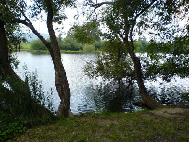
Tour gallery
Tour map and elevation profile
Minimum height 97 m
Maximum height 332 m
More about the tour author
|
|
hajorenner |
Comments

GPS tracks
Trackpoints-
GPX / Garmin Map Source (gpx) download
-
TCX / Garmin Training Center® (tcx) download
-
CRS / Garmin Training Center® (crs) download
-
Google Earth (kml) download
-
G7ToWin (g7t) download
-
TTQV (trk) download
-
Overlay (ovl) download
-
Fugawi (txt) download
-
Kompass (DAV) Track (tk) download
-
Track data sheet (pdf) download
-
Original file of the author (g7t) download
More about the tour author
|
|
hajorenner |
Add to my favorites
Remove from my favorites
Edit tags
Open track
My score
Rate