Login

Forgot your login?

Cookies have to be accepted!
Your browser's cookie functionality is disabled. Please enable this functionality.

Not a member yet?

Register now
Login

Available for registred users only

Log in to use this feature.

Forgot your login?

Cookies have to be accepted!
Your browser's cookie functionality is disabled. Please enable this functionality.

Not a member yet?

Register now
Filter
Categories
Advanced filters
  • Distance (km)
  • Height
Save filters Reset filter

TrackRank

QRCode

Technical data

Distance9,4 km Height166 m Way down173 m Duration02:30 h:m Date03.10.2009
Scores Author Landscape Fun factor Fitness Technique

Statistics

1714 Views 2 Scores 117 Downloads 3.00 Average
Rate
  • Track data sheet
  • Directions
  • Downloads
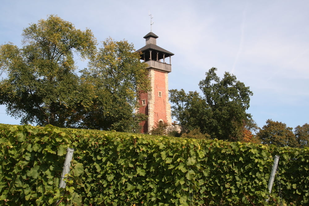
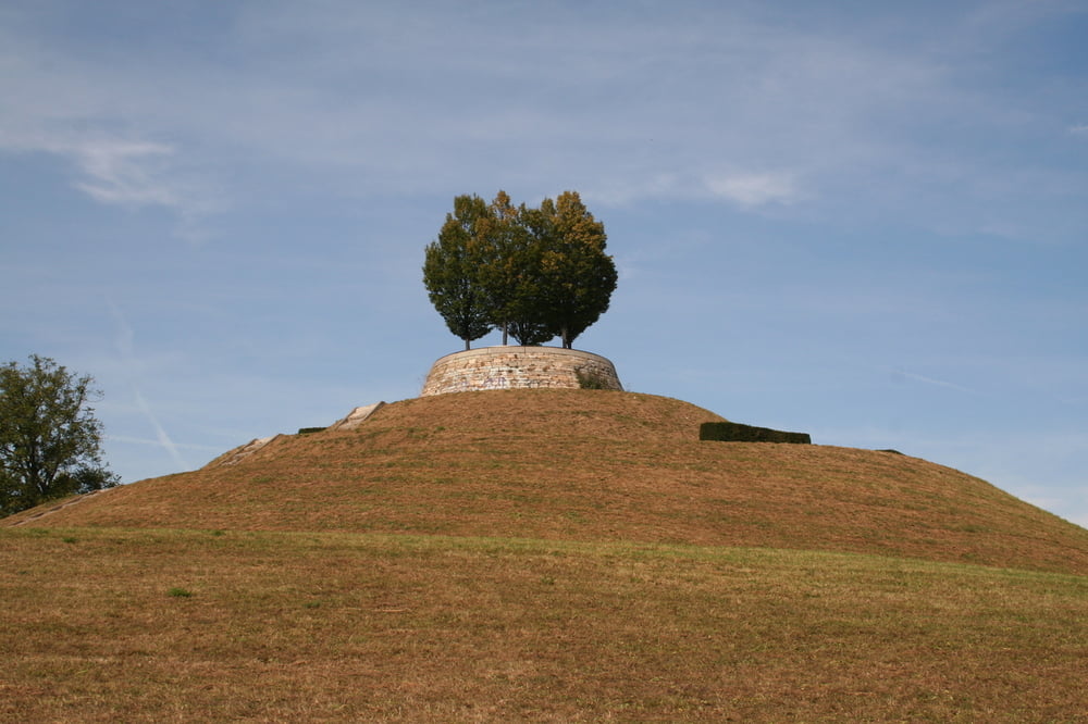
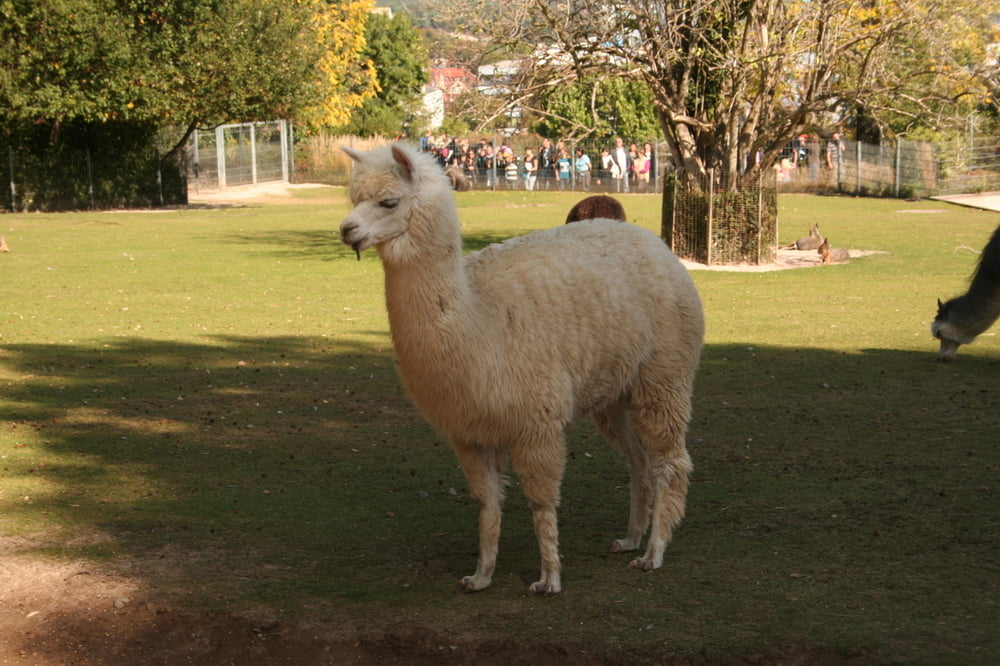
Start am Rathaus Bad Cannstatt. Über den Burgholzhof und die Weinberge oberhalb des Pragsattels. Weiter durch den Rosenstein Park entlang der Wilhelma, dem Rosenstein Museum, zurück nach Bad Cannstatt.

Tour gallery

Tour map and elevation profile

  • Open Street Map
  • Google
Minimum height 217 m Maximum height 362 m Detailed view

More about the tour author

Seili
Member since 2008

Send private message

Comments

GPS tracks

Trackpoints
  • GPX / Garmin Map Source (gpx) download
  • TCX / Garmin Training Center® (tcx) download
  • CRS / Garmin Training Center® (crs) download
  • Google Earth (kml) download
  • G7ToWin (g7t) download
  • TTQV (trk) download
  • Overlay (ovl) download
  • Fugawi (txt) download
  • Kompass (DAV) Track (tk) download
  • Track data sheet (pdf) download
  • Original file of the author (gpx) download

More about the tour author

Seili
Member since 2008

Send private message
Share track
Add to my favorites
Remove from my favorites
Edit tags
My score
Rate
Track: Bad Cannstatt, Burgholzhof, Rosenstein
Type: Hiking
Distance: 9,4 km
Evaluated on:
Duration:
Day(s)
Hour(s)
Minute(s)
Score: Landscape Fun factor Fitness Technique