

Deze tour start wederom in de Commandeurstraat te Mechelen.
Vandaar gaan we links de elzetterweg omhoog naar het elzetterbos.
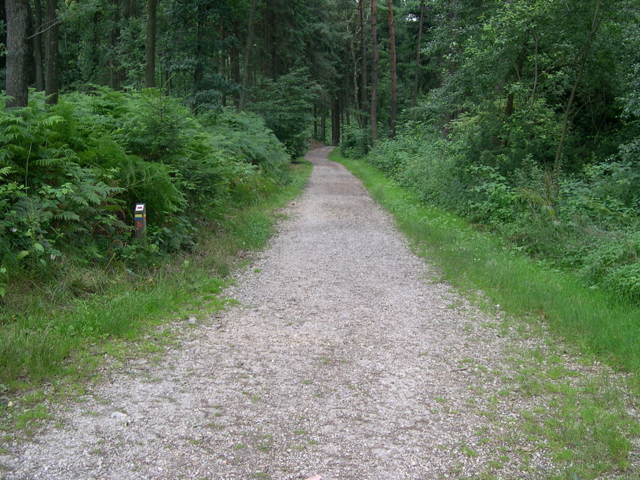
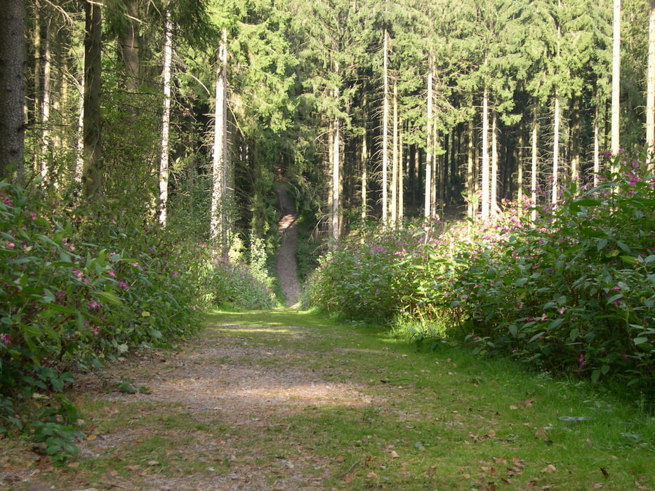
Daar draait en keert de tocht op en af doorheen,waarna we in het vijlenerbos uitkomen....waar we ook veel op en af draaien over mooie paden.
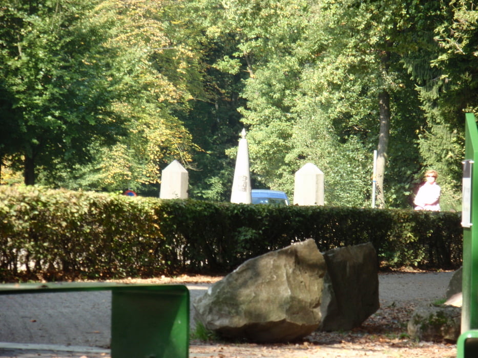
Via de wolfhaag komen we via 3 beklimmingen op het 3 landenpunt uit.
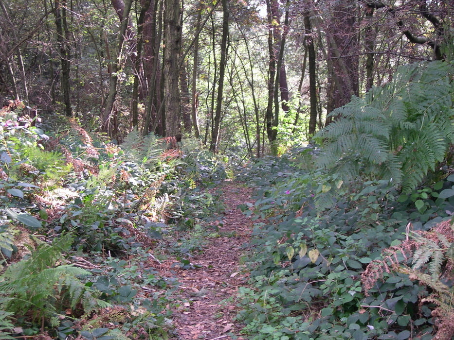
Vandaar gaat de tocht door het akenerbos,waar we ook enige zeer mooie "singletrails" zullen rijden.
Hierna komen we via een mooi pittig pad weer uit op het 3 landenpunt,om vandaar via de linkerzijde af te dalen naar wederom de wolfhaag en vandaar weer terug naar Mechelen.
De rode waypoints markeren de paden van de terugweg.
This tour starts again in the commandeur straat at Mechelen. Hence we go left the elzetterweg uphill to the elzetterwood. There and turns away the tour winds up and down, where upon we in the vijlenerbos end up….where we also much turn off on and concerning beautiful paths. By means of the wolfhaag we end up by means of 3 uphills on 3 the country point. Hence the tour goes by the akenerwood, where we very beautiful " also some; singletrails" will drive. Here after we descend by means of a nicely spicy path on 3 the country point, hence by means of the leftside to decrease to again the wolf hedge and hence to Mechelen. The red waypoints to mark the paths of the way back.
Dieser tour beginnt wieder im commandeurstraat bei Mechelen. Folglich gehen wir nach links das elzetterweg aufwärts zum elzetterwald. Und dar die geht die tour auf und ab, wo auf wir in den vijlenerwald beenden oben….auf wo wir auch viel abstellen und schöne Wege betreffend. Mittels des wolfhaag beenden wir oben mittels 3 uphills auf 3 den Landpunkt. Folglich der Ausflug durch den akenerwald, wohin wir sehr schönes " geht; auch einige; singletrails" fährt. Hier, nachdem wir mittels eines freundlich würzigen Weges auf 3 den Landpunkt, mittels, zum sich absteigen auf die Wolfhaag und folglich auf Mechelen folglich linksseitig wieder zu verringern. Die roten Zwischenstationen, zum der Wege der Weise zurück zu markieren.
Tour gallery
Tour map and elevation profile
Minimum height 102 m
Maximum height 355 m
More about the tour author
|
|
BertAusten |
Comments

Commandeurstraat 6281 AM Mechelen
GPS tracks
Trackpoints-
GPX / Garmin Map Source (gpx) download
-
TCX / Garmin Training Center® (tcx) download
-
CRS / Garmin Training Center® (crs) download
-
Google Earth (kml) download
-
G7ToWin (g7t) download
-
TTQV (trk) download
-
Overlay (ovl) download
-
Fugawi (txt) download
-
Kompass (DAV) Track (tk) download
-
Track data sheet (pdf) download
-
Original file of the author (gpx) download
More about the tour author
|
|
BertAusten |
Add to my favorites
Remove from my favorites
Edit tags
Open track
My score
Rate