


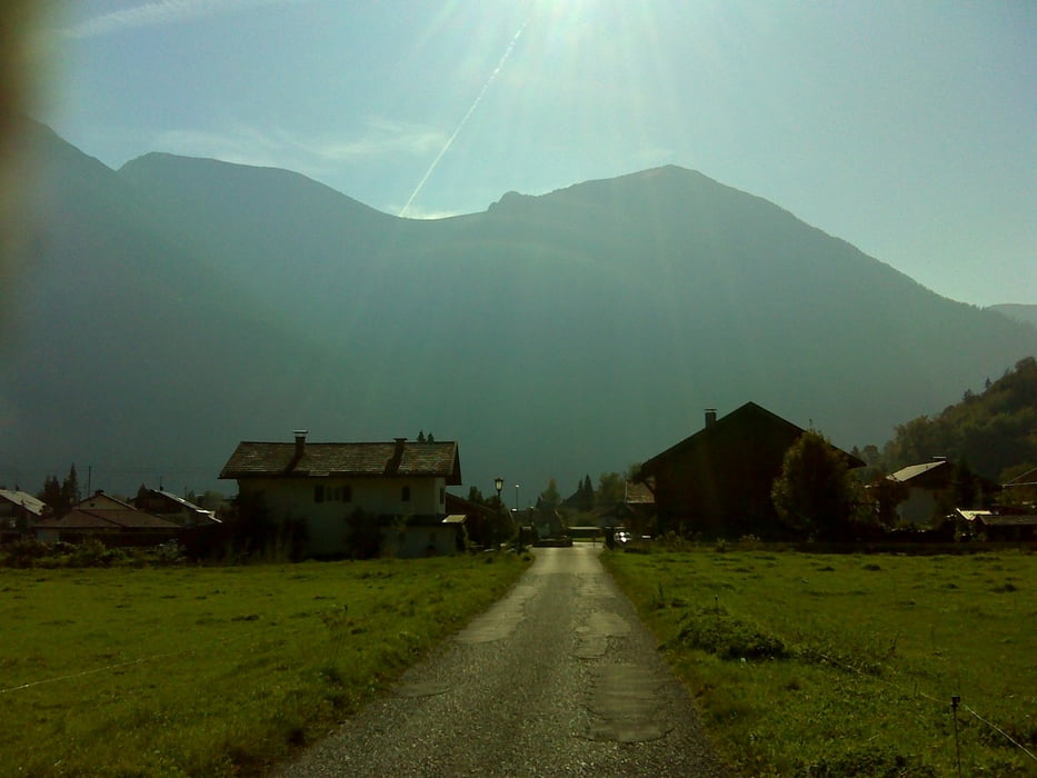
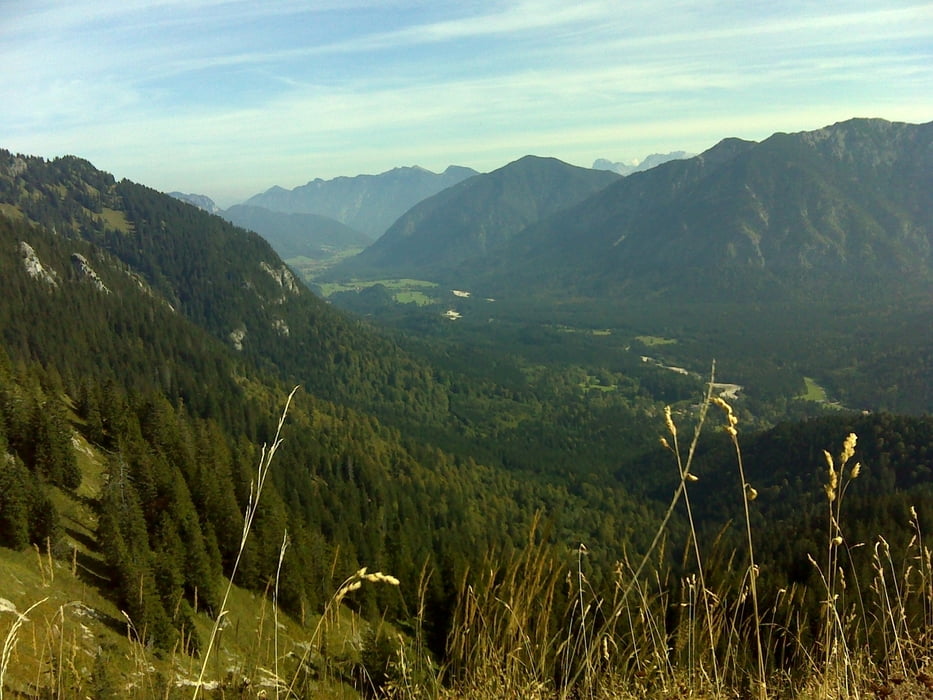
Landschaftlich sehr schöne Tour mit komplett fahrbarem Aufstieg zum Brunnenkopf (Kondition vorausgesetzt).
Der Abstieg vom Brunnenkopf ist leider nicht fahrbar. Knapp zwei Kilometer und eine dreiviertel Stunde schieben und tragen in recht unwegsamen Gelände (auch für technisch sehr gute MTBler zumindest eine halbe Stunde schieben und tragen). Danach aber wieder eine traumschöne fahrbare Strecke.
Tour gallery

Tour map and elevation profile
Minimum height 603 m
Maximum height 1613 m
More about the tour author

|
bathens |
Comments

Start wie immer am Parkplatz beim Murnauer Strandbad direkt am Staffelsee.
Von der A95 kommend Ausfahrt Sindelsdorf oder Murnau, dann immer in Richtung Murnau und dann runter zum Staffelsee. Dort auf einem der Parkplätze parken.GPS tracks
Trackpoints-
GPX / Garmin Map Source (gpx) download
-
TCX / Garmin Training Center® (tcx) download
-
CRS / Garmin Training Center® (crs) download
-
Google Earth (kml) download
-
G7ToWin (g7t) download
-
TTQV (trk) download
-
Overlay (ovl) download
-
Fugawi (txt) download
-
Kompass (DAV) Track (tk) download
-
Track data sheet (pdf) download
-
Original file of the author (gpx) download
More about the tour author
|
|
bathens |
Add to my favorites
Remove from my favorites
Edit tags
Open track
My score
Rate