


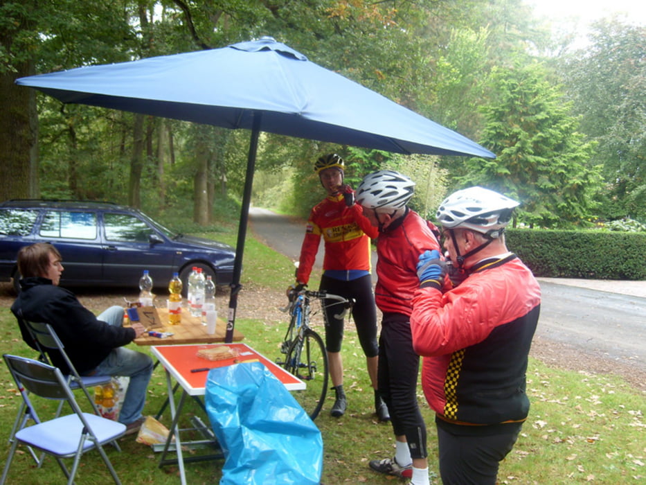
Das ist die 75-er RTF -Tour des Radsportverein "Pfeil" Erle aus Gelsenkirchen. Gefahren am 03.10.2009 bei kaltem und windigem Wetter aber zum Glück blieb es trocken.
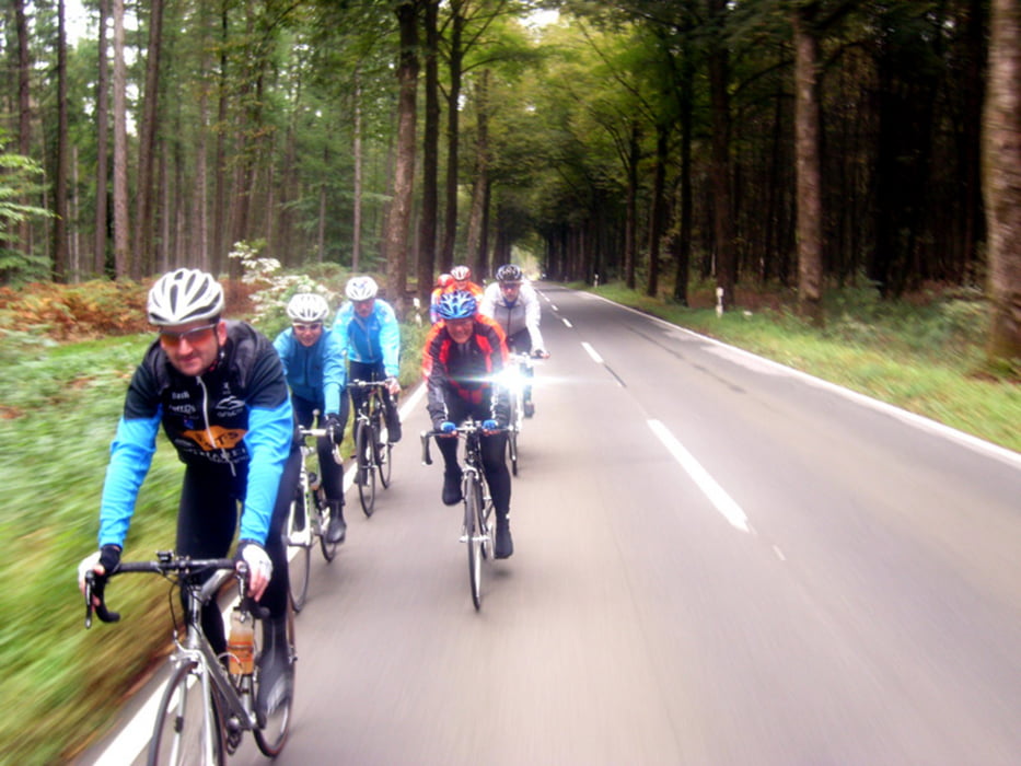
Eine schöne Tour, die eine gute Mischung von Nebenstrassen und auch befahrenen Strassen aufweist. Auch landschaftlich eine schöne Strecke, die eher durch ländliche Gebiete führt, als dass man sich im Ruhrgebiet wähnt. Mit 350 Höhenmeter eine eher flache Runde.
Gestartet wird im Uhrzeigersinn, nach Überquerung des Weser-Datteln-Kanals gegen den Uhrzeigersinn, also eine Acht.
Further information at
http://www.do-nord.deTour gallery
Tour map and elevation profile
Minimum height 26 m
Maximum height 175 m
More about the tour author
|
|
athena |
Comments

GPS tracks
Trackpoints-
GPX / Garmin Map Source (gpx) download
-
TCX / Garmin Training Center® (tcx) download
-
CRS / Garmin Training Center® (crs) download
-
Google Earth (kml) download
-
G7ToWin (g7t) download
-
TTQV (trk) download
-
Overlay (ovl) download
-
Fugawi (txt) download
-
Kompass (DAV) Track (tk) download
-
Track data sheet (pdf) download
-
Original file of the author (gpx) download
More about the tour author
|
|
athena |
Add to my favorites
Remove from my favorites
Edit tags
Open track
My score
Rate