
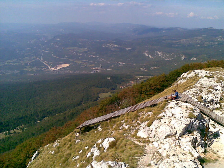

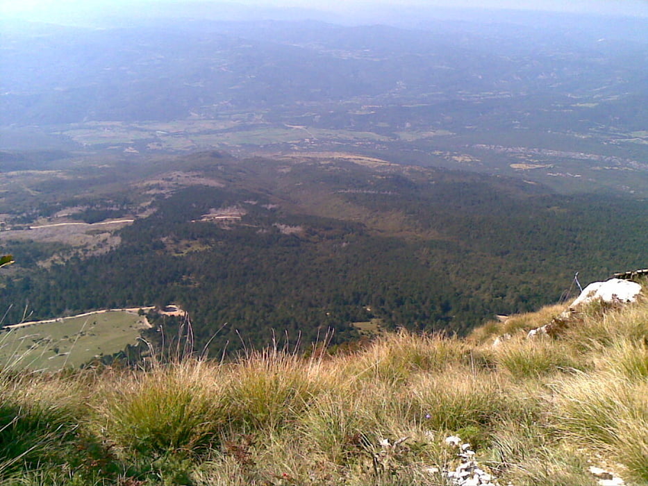
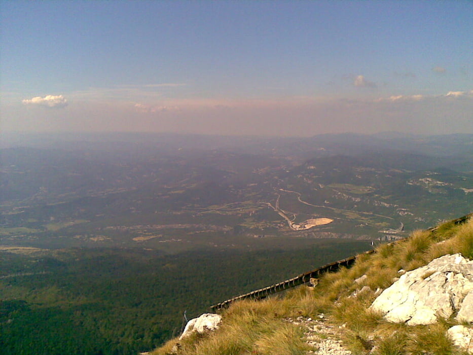
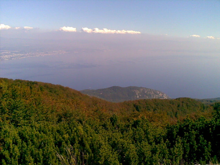
Start in Porec über Pazin (Landstrasse) zum Ucka (höchster Berg der Region). Brutaler Anstieg bis zum Gipfel über die Westseite und anschließende Abfahrt. Während der Abfahrt können die leeren Trinkflaschen an einer Quelle aufgefüllt werden. Über Lupoglav geht es Richtung Buzet und anschließend durch das (flache) Mirnatal und den 5km-Anstieg über Vizinada zurück nach Porec.
Tour vom 24.09.2009 bei schönsten Sommerwetter
Further information at
http://www.istriabike.comTour gallery
Tour map and elevation profile
Minimum height 11 m
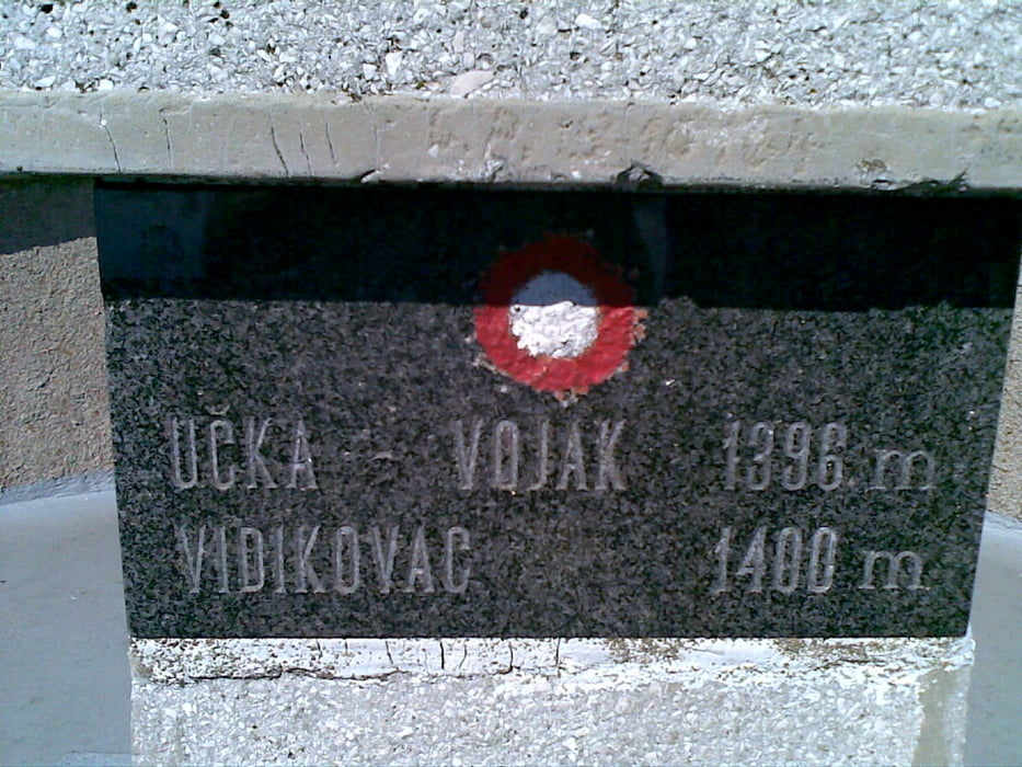
Maximum height 1382 m
More about the tour author

|
leezenfreund |
Comments

GPS tracks
Trackpoints-
GPX / Garmin Map Source (gpx) download
-
TCX / Garmin Training Center® (tcx) download
-
CRS / Garmin Training Center® (crs) download
-
Google Earth (kml) download
-
G7ToWin (g7t) download
-
TTQV (trk) download
-
Overlay (ovl) download
-
Fugawi (txt) download
-
Kompass (DAV) Track (tk) download
-
Track data sheet (pdf) download
-
Original file of the author (gpx) download
More about the tour author
|
|
leezenfreund |
Add to my favorites
Remove from my favorites
Edit tags
Open track
My score
Rate