Login

Forgot your login?

Cookies have to be accepted!
Your browser's cookie functionality is disabled. Please enable this functionality.

Not a member yet?

Register now
Login

Available for registred users only

Log in to use this feature.

Forgot your login?

Cookies have to be accepted!
Your browser's cookie functionality is disabled. Please enable this functionality.

Not a member yet?

Register now
Filter
Categories
Advanced filters
  • Distance (km)
  • Height
Save filters Reset filter

TrackRank

QRCode

Technical data

Distance74,5 km Height2597 m Way down2673 m Duration00:00 h:m Date04.10.2009
Scores Author Landscape Fun factor Fitness Technique

Statistics

914 Views Scores 210 Downloads Average
Rate
  • Track data sheet
  • Directions
  • Downloads

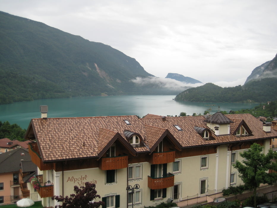
Tag 1 : Molveno – Male, 76 Km, 2600 hm

Konditionell schwere Etappe mit langer Anstieg von Tuenno aufs Peller.

Herrliche Pasta und Apfelschorle in kleines Restaurant in Tuenno.

Teilweise technisch anspruchsvolle aber fahrbare Abfahrt nach Male.

Total: 3 Tage, 170 Km, 5200 Hm


Further information at

http://www.dolomitibrentabike.it

Tour gallery

Tour map and elevation profile

  • Open Street Map
  • Google
Minimum height 387 m Maximum height 1913 m Detailed view

More about the tour author

luxgps
Member since 2009

Send private message

Comments

Luxemburg - Ulm - Füssen - Fernpass - Brennerpass - Bozen - Molveno

GPS tracks

Trackpoints
  • GPX / Garmin Map Source (gpx) download
  • TCX / Garmin Training Center® (tcx) download
  • CRS / Garmin Training Center® (crs) download
  • Google Earth (kml) download
  • G7ToWin (g7t) download
  • TTQV (trk) download
  • Overlay (ovl) download
  • Fugawi (txt) download
  • Kompass (DAV) Track (tk) download
  • Track data sheet (pdf) download
  • Original file of the author (gpx) download

More about the tour author

luxgps
Member since 2009

Send private message
Share track
Add to my favorites
Remove from my favorites
Edit tags
My score
Rate
Track: Dolomiti di Brenta Bikerunde Tag1
Type: Mountain bike
Distance: 74,5 km
Evaluated on:
Duration:
Day(s)
Hour(s)
Minute(s)
Score: Landscape Fun factor Fitness Technique